“A small rectangular cropmark site threatened by road construction was excavated in 1992/3 by Leicestershire Archaeological Unit, funded by the Department of Transport through English Heritage. The site comprised a much recut rectangular enclosure mostly devoid of internal features, with to the south and south-east various structures and pit groups. The pottery from the site is almost exclusively Iron Age, and interpretation of a radiocarbon programme has dated the site 450-350 BC.
An unurned cremation burial of a young adult was found in a shallow pit central to a rectangle formed by pits located to the south west of the enclosure. A radiocarbon date of 800-410 cal BC at 95½ confidence was obtained from oak charcoal from the cremation deposit (Camb.Q-3274). The cremation pit which cut earlier features was 0.40m by 0.35m and was up to 0.25m deep. The base of the pit was irregular with a socket on the south-west side, filled with a concentration of calcined bone. ” Prehistoric Society
Sites within 20km of Wanlip
-
Birstall enclosure settlement
link 1 -
Temple Grange Rothley
description 1link 2 -
Syston Barrow (Round Hill)
description 1 -
Cossington Barrows
description 2link 1 -
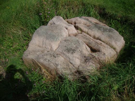
The Humber Stone
photo 12forum 2description 7link 1 -
The Moody Bush Stone
link 1 -

St. John's or Little John's Stone (destroyed)
photo 1description 3 -

Bradgate Stone & Ring
photo 1forum 1description 1 -
Wishing Stone
-
Hanging Stone
description 1 -

Beacon Hill
photo 2description 2 -
Bury Camp
description 1 -
The Grey Hangman’s Stone
-

Grimr’s Stones
photo 1 -
Thurlaston
-
The Billesdon Stone
link 1 -

Burrough Hill
photo 9description 8 -
Croft
description 1link 1 -
Forest Field
-
Earl Shilton Barrows
link 1 -

Peckleton Barrow
photo 6description 2 -

Grace Dieu Priory
photo 1description 1 -
Robin-a-Tiptoe Hill
description 2