Skip to content
Julian Cope
presents
The Modern
Antiquarian
Latest
Posts
Sites
Map
Blog
Forum
search
Search
⚠️
Sign in
more_horiz
United Kingdom
Scotland
Argyll and Bute (Islands)
Mull
Pottie
Standing Stone / Menhir
NM325222
expand_more
Nearest town:
Tobermory (38km NNE)
OS reference:
NM325222
OS sheet:
48
Latitude:
56° 18' 59.22 N
Longitude:
6° 19' 35.33 W
Added to TMA by
nickbrand
Images (2)
Add
content
Images
Pottie stone with its views to the sea
notjamesbond
Jul 23, 2004
The stone just outside Pottie
notjamesbond
Jul 23, 2004
Sites within 20km of
Pottie
Fionnphort
Standing Stone / Menhir
•
1.55km WNW
photo
4
description
3
Fingal’s Rock
Natural Rock Feature
•
2.76km W
photo
3
description
1
link
1
Tiraghoil
Standing Stone / Menhir
•
2.9km ENE
photo
10
description
3
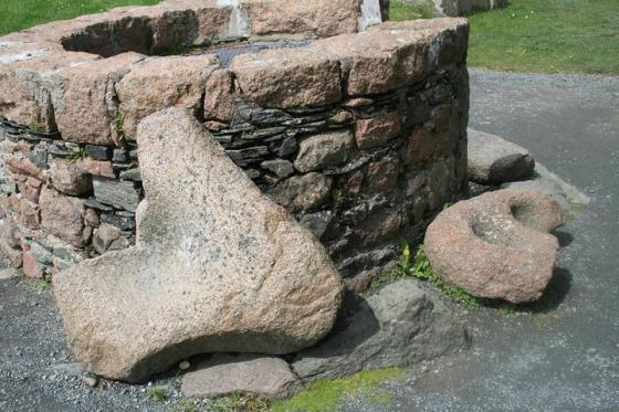
Clach Brath
Bullaun Stone
•
4.46km W
photo
1
description
2
Cladh an Diseirt
Cairn(s)
•
4.5km W
photo
6
description
3
Suidhe Barrow
Burial Chamber
•
4.59km E
photo
3
description
1
Suidhe
Standing Stones
•
4.59km E
photo
7
description
2
Ardalanish
Standing Stone / Menhir
•
6.22km E
photo
7
description
3
Dun an Fheurain
Cliff Fort
•
6.27km E
photo
4
description
1
Uisken
Standing Stone / Menhir
•
7.12km E
photo
5
description
1
Taoslin
Standing Stone / Menhir
•
7.17km ENE
photo
5
description
3
Dun Bhuirg
Broch
•
10.44km ENE
description
2
Dun a Gheard
Cliff Fort
•
13.58km ESE
photo
2
description
1
An Dun Torrens
Stone Fort / Dun
•
16.22km ENE
description
1
Ulva 2
Standing Stones
•
18.47km NNE
Ulva 1
Standing Stone / Menhir
•
19.75km NNE
photo
1
description
1
search
I’m looking for…
location_on
photo
ondemand_video
forum
description
link