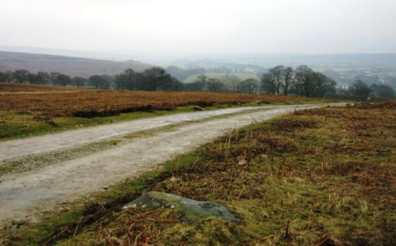
this is not Dargate dyke itself, but it is part of the same complex, it is a single duke that tuns for about half a kilometer, it can be found at SE875920 and is marked on the 1:25000 map of the area

Not particularly clear from this photo, but the dykes are still very easy to identify on the ground
Probably dating from the middle Bronze Age this dike to the north of Dalby Forest survives fairly well despite the whole area being part of a Forestry Commission plantation. The earthwork runs south from the crest of land in Crosscliff Wood before turning southwest towards Dargate Slack. For most of it’s course it consists of 3 parallel lines of ditches 2 metres deep and nearly 4 metres wide each with a pair of earth and stone banks also about 4 metres wide, with the whole structure measuring over 36 metres across – towards the southern end it is reduced to a single ditch with flanking banks. The easiest place to see the remains of the dikes is just west of an area set aside for car parking and picnicking where the banks are very low but the ditches are still over a metre deep.
Unfortunately the forestry commission saw fit to plant on top of the dykes themseleve, but they are still very easy to identfy . Judging by the amount of tumulii in the area, I would expect that there were originally much more fotifications than currently remain.