Sites within 20km of Ballynastaig Souterrain
-

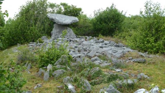
Ballynastaig
photo 8description 2 -
Crannagh
photo 10 -
Crannagh
-

Lydacan
photo 4 -
Ballynastaig
-
Ballynastaig
-

Doorus
photo 4 -

Ardrahan
photo 2description 1link 1 -
Slievecarran
-

Kilcrimple
photo 1description 1 -

Turlough Hill/
Knockycallanan photo 11 -

Turlough Hill/
Knockycallanan photo 7 -

Ballynacourty
photo 1 -

Coolnatullagh
photo 2description 1 -

Coolnatullagh
photo 2 -

Coolnatullagh
photo 2 -

Coolnatullagh
photo 3 -
Knockawuddy
-

Derrycallan
photo 3 -

Ballynacloughy
photo 4 -

Lavally
photo 1description 1 -
Cappaghkennedy
link 1 -

Seefin
photo 4description 1 -

Aughinish
photo 6description 1 -

Rannagh West
photo 2 -

Castletown
photo 4 -
Tullycommon (Cl. 54)
-
Slievenaglasha
description 4 -

Poulaphuca
photo 7 -

Boloona
photo 4 -
Corbehagh
forum 1 -

Corbehagh
photo 7forum 1description 1 -
Corbehagh
forum 1description 1 -
Eanty More
photo 4 -

Corbehagh South
photo 1 -

Corbehagh South
photo 1 -

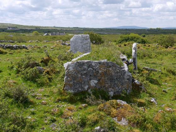
Tullycommon
photo 4 -
Fahy
-

Cahercommaun
photo 19forum 1description 2link 1 -
Garrans Lodge
description 1 -

Ballymihil
photo 5description 1link 1 -

Meggagh
photo 3description 1 -
Creevagh
photo 29description 1link 1 -

Gleninsheen
photo 16description 2link 1 -

Moheramoylan (Cl. 30)
photo 1 -

Berneens
photo 8 -

Moyree Commons
photo 10 -

Ballyallaban
photo 2 -

Gleninsheen
photo 10 -

An Ráth
photo 6 -

Fanyglavin
photo 11description 1 -

Cahermackirilla
photo 2description 1 -

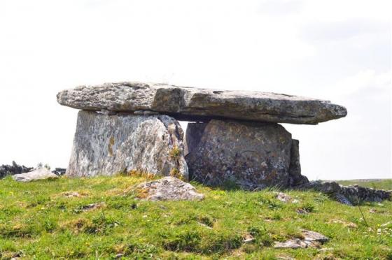
Poulnabrone
photo 51ondemand_video 1forum 6description 5