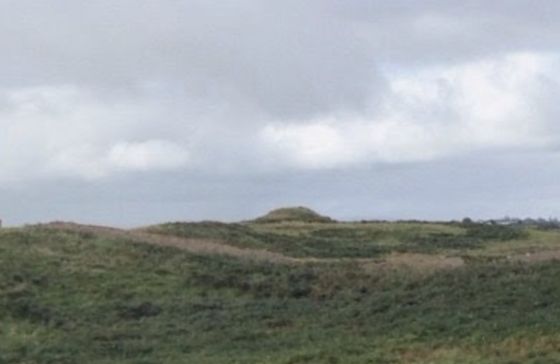
A very well preserved site of this kind!
Image credit: Google earth

A very well preserved site of this kind!

A close up on the 2.8 meter tall beautifully domed mound.

A wide angle shot of the very well preserved bowl barrow.
From the O.S. Map:
SL016-051---- : Barrow – bowl-barrow : SCURMORE
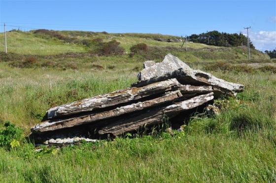
Description: Situated atop a low ridge in pasture. Circular, steep-sided mound of earth and stone (diam. at base c. 2 1m; H 2.8m). At the top of the mound is a small irregularly-shaped, almost level area (dims. 5.1m NNE-SSW; 4.2m WNW-ESE). The mound is encircled by a wide, deep fosse (Wth 3.8m) which has a substantial bank of earth and stone (Wth. 6.5m; max. H 1m) at its outer lip. On the OS 1912 edition of the OS 25-inch map are five irregularly-shaped, recumbent boulders with the collective designation ‘Standing Stones (Called the Children of the Mermaid)’. A sixth was identified during the site visit. A seventh is recorded in a legend, much of which is based at the site, which was recorded by Wood-Martin (1887-8, 290). There is no evidence that any of the boulders were ever in an upright position.
Compiled by: Patrick F. O’Donovan
Date of upload: 19 January 2011
Six-Inch First edition: Scurmore Moat
Six-Inch Latest edition: Scurmore Mote
ITM Coordinates: 527276 , 827674
Latitude and Longitude: 54.192838 , -9.114385