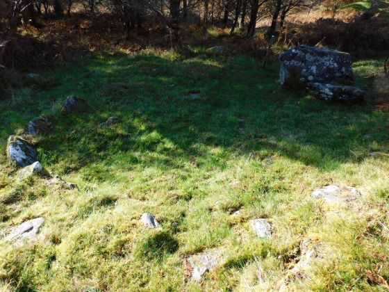
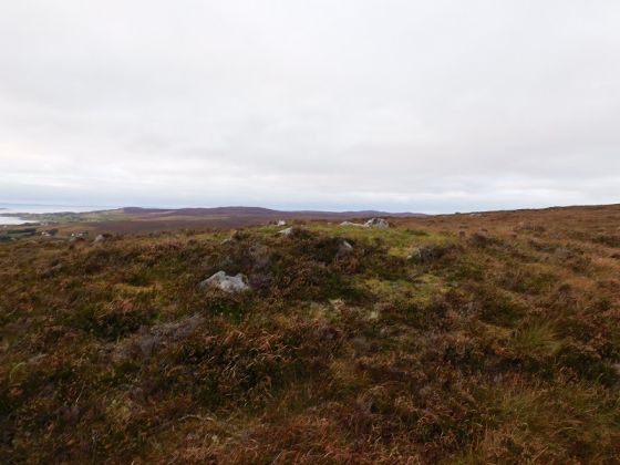
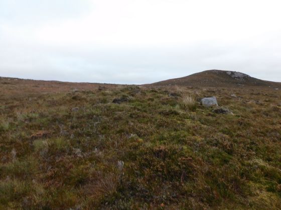
The east wall, musy have been huge. Large amounts of stone scatter the east hillside.
Image credit: drew/AMJ

The east wall, musy have been huge. Large amounts of stone scatter the east hillside.

The north wall heading east.

Most of the fort taken from on top of the North East wall.

The probable entrance on the south wall.

Creag An Fhamhair viewed from the south.

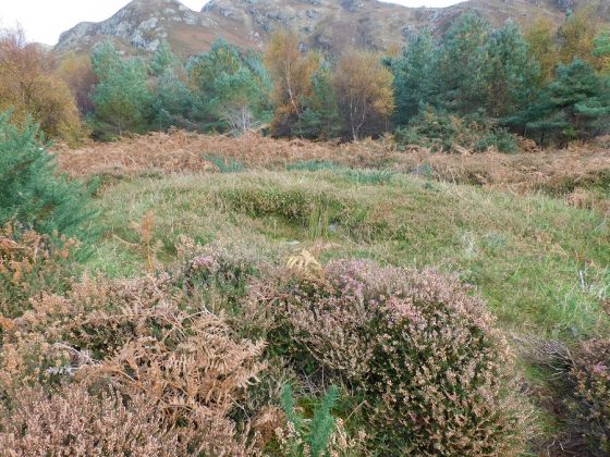
The remains of the fort’s wall on the south east.

The A832 and River Kerry (a sharp corner) head north, the B8056 heads towards Baldachro and Redpoint. The river takes a sharp bend southwards towards its source at Loch Bad an Sgalaig. Good place for a fort.

Plan of the fort.

Wall on the west side.

The A832 heads south, the River Kerry heads towards Gairloch.

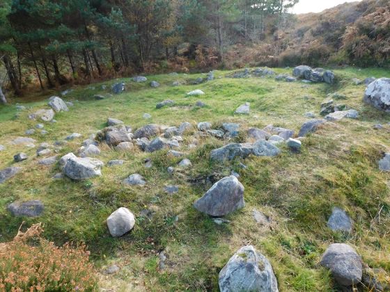
Inside the fort looking west.

On the west side looking north.

From the west side, excellent defences.
The name, meaning “rock of the giant”, would be quite suitable as the name of a crag on which an ancient fort was built, as referring to the building as the work of a giant.
A local resident knows the name as “Creag an Fhomhair” and gives as the meaning “the giant’s rock”.
Ross and Cromarty Heritage