Beautiful standing stone in Tawnywaddyduff.
Fear Breaga standing stone.
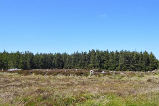
Standing stone 300 metres west of the overgrown court tomb.