
West over the largest roofstone.
Image credit: ryaner
West over the largest roofstone.

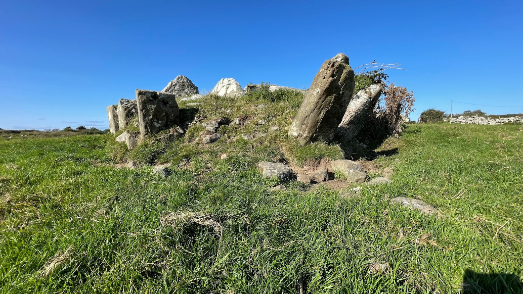
Though messy, much of the tomb remains – this is the view north.

Looking west at the overgrown rear of the tomb – outer wall stone on the southern side is collapsing outward.

Most of the tomb is intact with almost all of the gallery still roofed.

Large (nearest and tallest 1.75 metres) outer walling on the northern side.
Outer-walling on the south side of the tomb is collapsing outwards.

Largely filled-in portico at the west-south-west.


