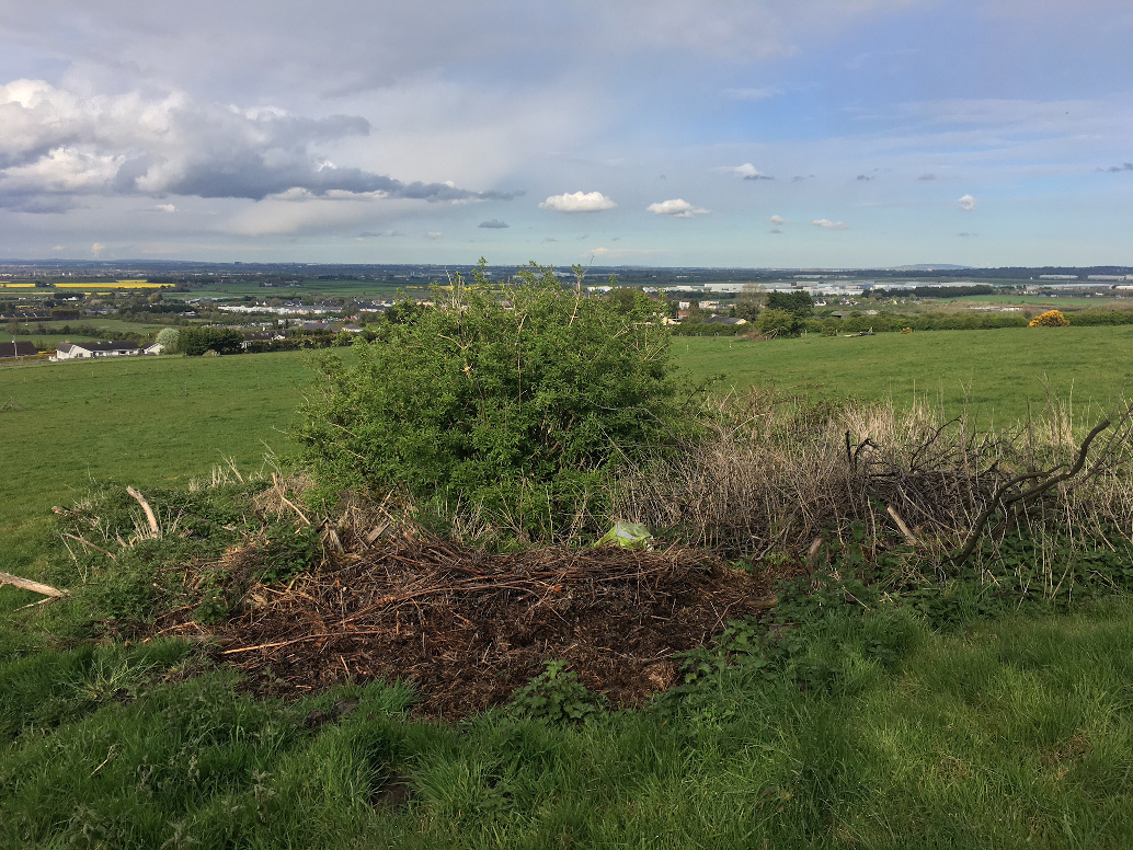
Looking east. Maybe you might give this one a miss if you’re at the seriously worthwhile one at the top of Athgoe Hill.
Image credit: ryaner
Looking east. Maybe you might give this one a miss if you’re at the seriously worthwhile one at the top of Athgoe Hill.

Looking north. It’s not much to look at.
Not much to say about this except to post the note from archaeology.ie. I couldn’t see anything here remotely close to 46 metres in diameter. Maybe I was in the wrong place, but I was in the exact location given on the Historic Environment Viewer and there’s nothing else similar nearby.
Class: Barrow – unclassified
Townland: ATHGOE,HIGHDOWNHILL
Scheduled for inclusion in the next revision of the RMP: Yes
Description: Located on the N face of Athgoe Hill in an area indicated as a copse on the 1837 OS 6-inch map. A sub-circular area (diam. c. 46m) defined by a fosse (Wth 2.8m; D 0.9m) and an outer flat-topped bank in the NW and W (Wth 4m at base; 1.2m at top; H 0.6m) and by bushes in the E and SE. The interior of the site is planted with trees (Stout 1998, 151-2).
Compiled by Geraldine Stout
References:
1. Stout, G. 1998 The archaeology of Ballymount Great, County Dublin. In C. Manning (ed.), Dublin and beyond the Pale, 145-54. Bray. Wordwell.