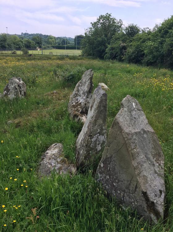
Just inside the fence from the road and on the way over to the collapsed portal tomb.
Image credit: ryaner
Just inside the fence from the road and on the way over to the collapsed portal tomb.

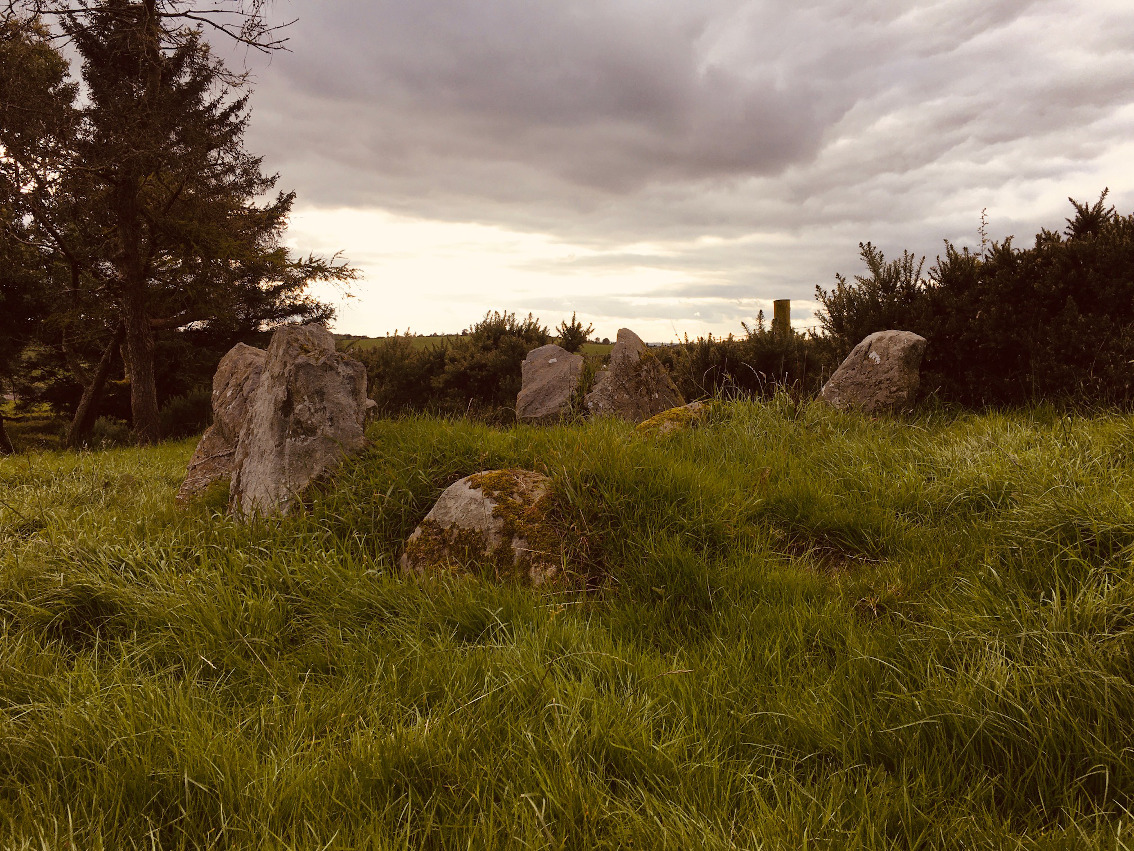
Looking north.
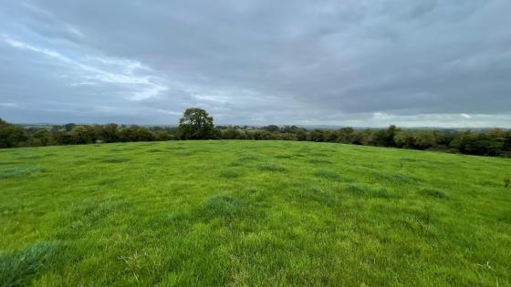
Looking west.
Visible from the road, not marked on the OS map, this obvious megalithic tomb defies classification. It was a bonus to find it – we actually thought it was the tomb that is marked on the OS map, but no, it’s a separate, unclassified megalithic tomb in the same townland.
The Northern Ireland Sites & Monuments Record has this to say: “6 large-ish stones remain in situ & there are several smaller stones which may be in their original positions. 3 other large stones lie within the area of the site but seem to be displaced. The stones in situ seem to form an enclosure or kerb defining an area 2.75m NW-SE x 4m NE-SW, raised 0.4m above the surrounding ground. 2 large stones 1m apart & 1.04m high mark the SW end. The other stones decrease in height to NE end which is marked by a single stone 0.15m high.”
Reading further, there is mention of carved stones at the site, none of which are visible now. Initially I said wedge tomb, but those carvings say passage tomb, and it could also fit as a court tomb. I was surprised at how close to the road the tomb was. The map shows it quite a distance away from the road so I was puzzled and unconvinced. Then we spied the obvious tomb in the next field to the south.