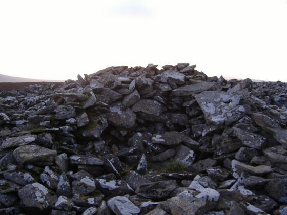
Holy water cures headaches because it’s magic. What do you do, immerse your head into the bowl?
Image credit: ryaner
Holy water cures headaches because it’s magic. What do you do, immerse your head into the bowl?

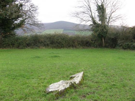
The third bullaun, beside the holy well.

Two of the three bullauns in Kilkieran graveyard. The one on the left has a channel that breaks the side of the bowl.