Sites within 20km of Bealkelly
-

Pestruper Gräberfeld
photo 7description 1link 1 -

Sonnenstein – Beckstedt
photo 3description 2 -

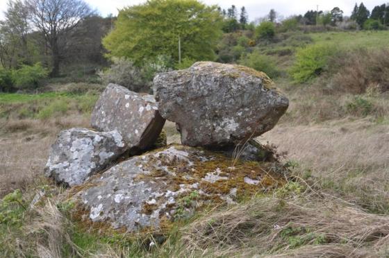
Craglea
photo 1forum 1description 2 -

The Bargaining Stone – Inishcealtra
photo 2 -

Iniscaltra
photo 2description 1 -

Iniscaltra
photo 4link 2 -

Graves of the Leinstermen
photo 6description 4 -

Laghtea
photo 1description 1 -

Killokennedy
photo 5 -

Knockaunreelyon
photo 1description 1 -

Killaloe
photo 3description 1 -

Cloongaheen West
photo 4 -

Ballymalone More
photo 1description 1 -

Roolagh
photo 4description 1 -

Cappaghbaun Mountain
photo 6 -

Lisheentyrone
photo 3description 1 -

Lisheentyrone
photo 9forum 1description 1 -
Bohateh North
link 1 -

Barbane
photo 6 -
Drummin
-
Ballina
forum 1description 1 -
Ardskeagh
-
Violethill
-

Lackamore
photo 2description 1 -

Cloneygowny
photo 1description 1 -

Coolbaun
photo 4 -

Burgesbeg
photo 5description 1 -

Coumroe
photo 3description 1 -

Formoyle More West
photo 6description 1 -

Garranmore
photo 2description 1 -

Carrigeen
photo 7 -
Burgesbeg
description 1 -

Rosslara
photo 4 -

Birdhill
photo 5description 1 -

Youghalvillage
photo 3description 1 -

Cappadine
photo 4forum 1description 1 -
Ardataggle
-
Ballynahinch
description 1 -

Ballynahinch
photo 1description 1 -

Ballynahinch
photo 2description 1 -
Ballykelly
-
Tober Grania
description 1 -
Altoir Ultach
description 1 -

Knockshanvo
photo 4description 1 -

Hexenstein – Neerstedt
photo 6description 2 -

Ballinahinch
photo 1 -

Garruan
photo 1 -

Garraun
photo 2description 1 -

Creggane
photo 1description 1 -

Ballinahinch
photo 1 -

Ballinahinch
photo 1description 1 -

Kilcolman
photo 1description 1 -

Ballyard
photo 2description 1 -
Caher
photo 4 -

Clonalough
photo 1description 1 -

Tullahedy
photo 1description 1 -

Milltown
photo 10 -

Corbehagh South
photo 1 -

Corbehagh South
photo 1 -
Fahy
-
Corbehagh
forum 1description 1 -

Corbehagh
photo 7forum 1description 1 -
Corbehagh
forum 1