Sites within 20km of Gospel Hill
-

Cowling Lane Round Barrow
photo 3description 1 -

Great Crakehall Round Barrow
photo 1description 1 -

Well
photo 2description 1 -
Fearby Standing Stones
forum 1description 2 -

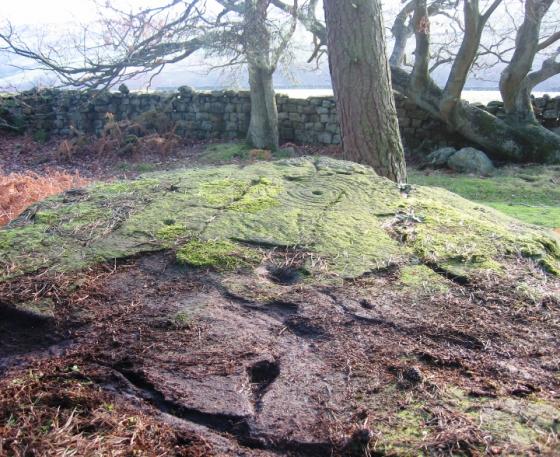
Phlashetts Stone
photo 3description 1 -

Binsoe Artificial Mound
photo 2description 1 -
Nosterfield Mixed Period Barrow Cemetary
description 2 -

Thornborough Henge North
photo 23description 8 -
Northern Henge Cursus
description 2 -

Three Hills
photo 3forum 1description 2 -

Thornborough Henge Central
photo 34forum 3description 11 -
Thornborough Central Cursus
forum 1description 3 -
Low Sides Bronze Age burial
description 1 -
Green Lane Barrow
description 1 -

Centre Hill Barrow
photo 1description 2 -
Southern Henge Barrow
description 2 -

Thornborough Henge South
photo 17description 4 -
West Agra
photo 15forum 1description 1link 1 -

Rush Wood Post Alignment
photo 2description 1 -

Rush Wood Round Barrow
photo 8description 2 -
East Tanfield Barrow
description 1 -
Diana’s Well
description 2 -
Rush Wood Hall Barrow
description 1 -

Stapely Hill Round Barrow
photo 3description 1 -
Berry Hills Barrow
description 1 -

Braithwaite Wood Hillfort
photo 3description 1link 1 -

Bellflask Stone Row
photo 1forum 1description 1 -

Pickhill Moated Mound
photo 3description 4 -
Flamstone Pin
description 1 -
Catterick Henge
description 2link 1 -

Castle Steads, Coverham
photo 2link 1 -
Ainderby Quernhow
description 1 -

Fortress Dyke Camp
photo 1description 2 -
Scorton Cursus
description 5 -

Nunwick Henge
photo 1description 2 -

Downholme
photo 2description 1 -

How Hill Swaledale
photo 1 -
Burtree Hill Round Barrow
-
Burtree Hill Barrow
description 1 -
Ailey Hill
description 2 -
Moor House Round Barrow
-

Hutton Moor Henge
photo 2description 3 -
Whitcliffe Scar
description 2 -
Blois Hall Round Barrow
description 2 -
Low Barn Round Barrows
description 1 -
Harlands Plantation Barrow
-
Yeadon Crag Rock Shelter
-
Cana Henge
description 2 -
Cock Howe
link 1 -

Burton Moor
photo 1forum 1link 1 -
Aske Moor
-
Aske Moor (Silver Hill)
description 1