
The NW settlement on its hilltop, centre. Seen across Mire Loch from Kirk Hill.
Image credit: A. Brookes (21.10.2022)
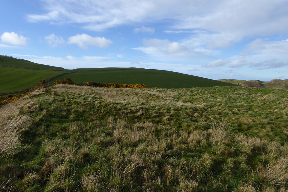
The NW settlement on its hilltop, centre. Seen across Mire Loch from Kirk Hill.

A walk past on our way to a very windy St Abb’s Head.

NW settlement rampart on skyline, clearance rubble pile in foreground..or is that it’s original location and settlement related?

South side

The hillfort from the road to the south.


The northeast side of the hillfort, looking towards Bell Hill and Eyemouth. Bell Hill was the site of a cairn (with cinerary urn) destroyed in the early 19th century.
The hillfort interior. The bump on top of the hill beyond is the NW settlement.

The western corner of the hillfort, looking towards Pole Hill.

Round house platform in the northwestern settlement.

The northwestern settlement. Mire Loch hillfort can be seen far right in the middle distance.

Bank of the smaller NW settlement, looking towards St Abb’s Head.

The smaller northwestern settlement on its hilltop.
Canmore description of the fort/settlement site:
This fort is situated at an elevation of some 250ft OD, and occupies the NW end of a rocky knoll which rises some 40ft above a cultivated field.
It is enclosed by a single earth-and-stone rampart which follows the contour on three sides and crosses the summit on the fourth. In the interior are several rather indefinite foundations, and apparently a circular one on the right of the entrance and another nearer the centre. There are also a number of mounds and hollows of indeterminate character outside on the slope from the SE, probably due to quarrying.
The remains at this site are those of a probable two-phase settlement overlain by a farmstead. In the first phase the settlement measured 40m by 24.5m internally; subsequently it was extended on the NW by 13m. The enclosing bank is spread to a width of about 3.3m, except on the SE, where it is considerably thicker, with traces of an external ditch. The gap on the SE is probably associated with the farmstead, and the original entrance may have been on the N. The remains of the later farmstead are situated within the wall of the settlement. The buildings appear to have been ranged around a yard which was open on the SE. The most prominent feature is a building platform measuring 13m from NW to SE by 4.2m transversely set against the SW wall of the earlier settlement.
As well as the fort there is an intervisible prehistoric settlement site to the NW at NT 9083 6863. Canmore description:
This roughly rectangular settlement, measuring about 44m by 28.5m within a wall (0.6m high and spread to a thickness of 3.7m) occupies the rounded summit of a hill due S of Pettico Wick Harbour, (at an elevation of 105m OD). The S corner of the interior has been incorporated into what is probably a secondary enclosure containing the turf-covered footings of two circular houses. Within the settlement there are footings of two houses with internal diameters of 6.2m and 7m respectively.


