
The only part of the cairn not covered in moss or grass. This lone character is in the south side.
Image credit: drew/amj
The only part of the cairn not covered in moss or grass. This lone character is in the south side.


A very beautiful site surrounded in silver birches.
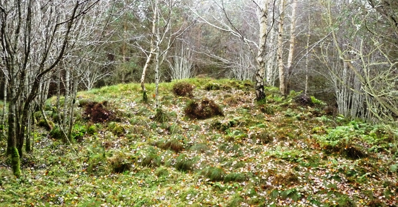
Looking south east.


