Dunearn Fort, in the centre, taken from Carn Bad A’Churaich.
Image credit: drew/B
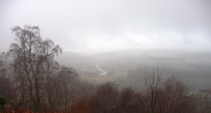
Dunearn Fort, in the centre, taken from Carn Bad A’Churaich.

The fort from north west to south east, three different sections but mist gets in the way.

North east ramparts heading west.

North mid section ramparts, Drumlochan in the background.

Mid section of fort looking west, the fort is over 380 meters in length.

The furthest west point of the fort and a jump into pea soup.

Mid section west rampart.

North west rampart, River Findhorn.

The northern rampart heading south west.
Looking westish towards the River Findhorn, foggy and hammering down with rain.

From the north east, steep drop not pictured.
Go south from Ferness, on the B9007, and take the first minor road west. (same road leads to Daless) The fort is the first hill just south of the road. Don’t bother to try parking at Dunearn Farm as there are No Parking signs. I parked just before, on the eastern side, of the fort at a wee quarry.
From here I walked west back towards to the fort. This includes a sharp downhill, jumping a wee burn and then climbing quite steeply towards the top. This a huge fort built in what looks like three sections. Sadly the flatness of the fort also proved its downfall as it was cultivated until 1906. Still the remnants of a rampart can be traced all around the 300 meters, including terraces, long fort. It is 45 meters wide. To add to the forts woes it was used as an artillery base during WW2. However it is a perfectly positioned site with superb all round views including the River Findhorn, which seems to have played a big part in recent hikes.
This left enough time and daylight to hike to a nearby fort but by the time I got back the car the fog had completely closed causing poor visibility. The rain was still coming down and the weather was only getting worse. So the hikes were over, plenty other days to come back.
Visited 6/4/2016.
A pdf of the brilliant violinist, Ian Hardie’s tribute to Dunearn Hillfort.