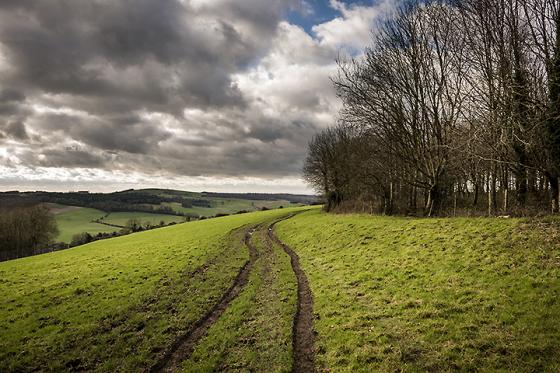
The Modern Antiquarian
Log in
|
Register
Home
Latest Posts
Forums
Maps
Help
Browse Sites
News
Blog
Contributors
The Books
Select
-
Belgium
Denmark
Eire
France
Germany
Greece
Italy
The Netherlands
Norway
Portugal
Republic of Malta
Spain
Sweden
Switzerland
United Kingdom
England
Southern England
West Sussex
Little Bury
Round Barrow(s)
Little Bury (Round Barrow(s)) on The Modern Antiquarian, the UK & Ireland's most popular megalithic community website. 2 images, plus information on many more ancient sites nearby and across the UK & Ireland.
Image © A R Cane
Nearest Town:
Haslemere (14km NNW)
OS Ref (GB):
SU936184 /
Sheet: 197
Latitude:
50° 57' 24.59" N
Longitude:
0° 40' 1.82" W
Added by
A R Cane
Images (2)
0 discussions
Start a topic
Show |
Hide
Web searches for Little Bury
Flickr
Google
Google Images
MAGIC
The Megalithic Portal
Bing
Stone Pages
Streetmap.co.uk
Wikipedia
Show map
(inline Google Map)
- Sites within 20 km -
-
Lavington Common (0.7km E) (3 posts)
Gallows Hill (1.14km NNW) (8 posts)
Heyshott Down (3.55km WSW) (5 posts)
Duncton Down (3.67km ESE) (1 post)
Barlavington Down (3.96km ESE) (2 posts)
Waltham Down (4.14km S) (7 posts)
Glatting Beacon (5.98km SE) (7 posts)
Court Hill (6.02km SW) (8 posts)
Lord's Piece (6.04km E) (11 posts)
Barkhale (6.95km ESE) (10 posts)
Barkhale Wood barrow (7.51km ESE) (2 posts)
Halnaker Hill (8.94km S) (7 posts)
Iping Common (9.31km W) (24 posts)
The Trundle (9.37km SW) (23 posts)
Boxgrove (9.84km S) (11 posts)
War Dyke (10.2km ESE) (8 posts)
Hammer Wood (10.59km W) (1 post)
Rewell Wood Barrow (11.17km SE) (3 posts)
The Devil's Jumps (11.22km WSW) (10 posts)
The Devil's Ditch (11.36km SW) (8 posts)
Goose Hill Camp (12.09km WSW) (16 posts)
Bow Hill Camp (12.84km WSW) (4 posts)
Stoughton Down (12.85km WSW) (17 posts)
Rackham Banks (12.93km E) (9 posts)
Stoughton Down (12.99km WSW) (2 posts)
The Burgh (13.28km ESE) (5 posts)
Kingley Vale (13.81km WSW) (16 posts)
Springhead Hill (13.83km E) (5 posts)
Burpham Camp (14.26km ESE) (6 posts)
Kithurst Hill (15.11km E) (10 posts)
Bevis's Thumb (15.15km WSW) (16 posts)
Torberry Hill (15.76km W) (6 posts)
Chantry Hill (16.26km E) (3 posts)
Sullington Warren (16.32km E) (8 posts)
Harrow Hill (16.71km E) (12 posts)
Sullington Hill (16.88km E) (5 posts)
Blackpatch Flint Mines (18.39km E) (5 posts)
Petersfield Heath (18.52km W) (38 posts)
- Add -
-
Add news
Add an image
Add fieldnotes
Add folklore
Add miscellaneous
Add a link
-
Add a site
Add a nearby facility
Add an alternative name/spelling
Images
(click to view fullsize)
Add an image