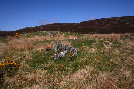
Viewed from the approx north-east.
Image credit: Robert Gladstone
Viewed from the approx north-east.


More akin to a cairn than the remains of a broch.... but well sited.
Visited 23.7.14
Directions:
About 1km down a minor road off the A836 (signposted Skelpick)
A short distance south of Bettyhill.
There is a small parking area and an information board and a sign proclaiming this to be site ‘Strathnaver Trail 11’.
(Well done to whoever set up this trail)
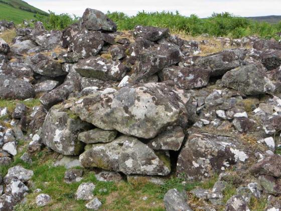
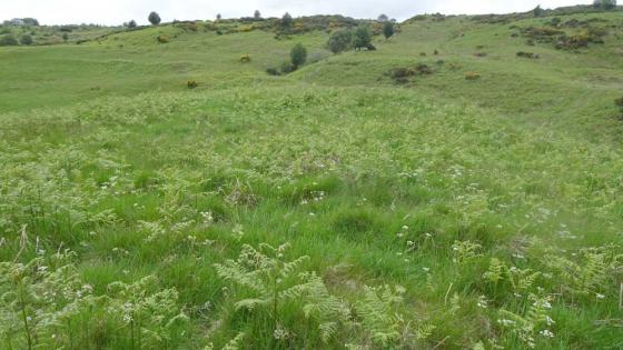
A ‘path’ has been cut through the ferns and a short walk will soon bring you out to a large pile of stones which is all that remains of this ruined broch. Much of the mound of stones is covered by fern. I couldn’t make out any of the details described by the CANMORE report.
The broch is in a prominent position and affords good views along the glen.
Worth a look when visiting the (better) chambered cairns which run along the road.
CANMORE state:
The remains of a broch, set on a low knoll. The north section is severely denuded and the entrance passage is not visible although the chamber survives. In the northern arc are traces of a dry stone chamber, partly built into the broch wall. To the SW lies a circular rubble-walled enclosure, 7.2m in diameter with no visible entrance, whose period is uncertain. Remains of a ditch, partly accompanied by an outer bank, curve around the broch on the north and west’.