
Looking south west, the general direction to base camp at Nedd.
Image credit: drew/A/B
Looking south west, the general direction to base camp at Nedd.

The sun sets on Loch Daimh Mor.

East side of the chamber.

The sun doing strange things to Garbh, Ganu, Ghorm and co to the east.

The remains of the chamber.

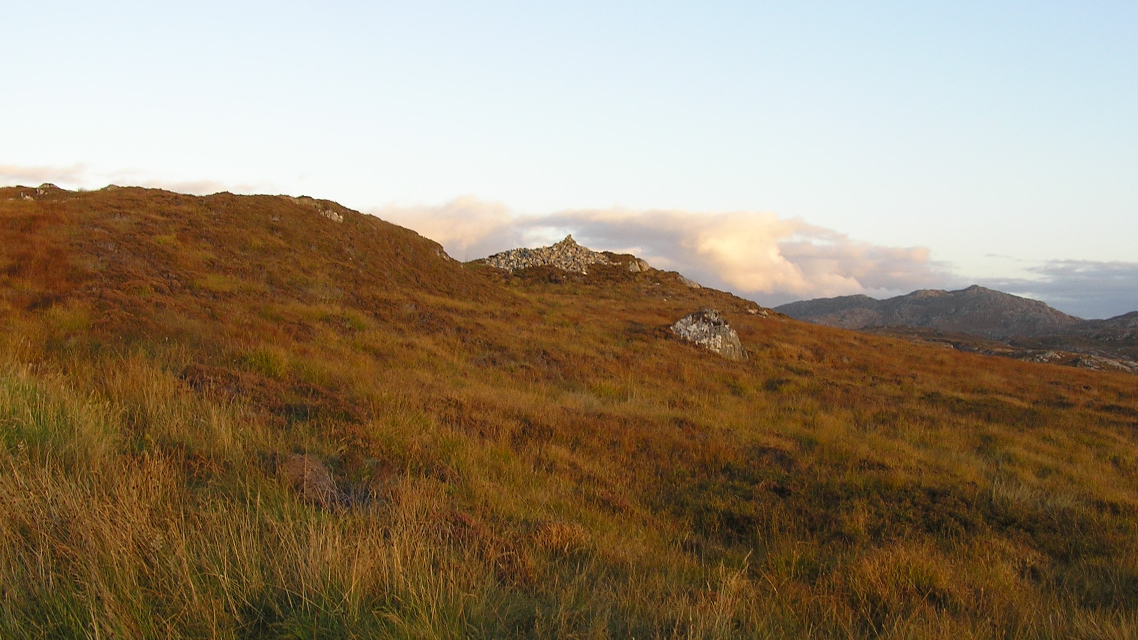
North side of the cairn.

Looking south to Badcall Bay.

East side of the cairn.

Looking to the south.
Taken from the path.

Assynt lies beyond...


The chamber........

Looking approx south across Loch a Chreagain Theth and Lower Badcall to Assynt.

Looking across the chamber to Loch an Daimh Mor... which apparently possesses a hut circle upon the far shore. The chamber has several prominent orthostats... e.g that visible to right.

Gone 8.00 heading for a wild camp in Inverpolly... and a glance catches this sitting above the road. No rest for the Citizen Cairn’d.
After the tiring experience at Rubha Gisgil we headed north for the final site of the day at Cnoc An Daimh near the village of Scourie.
Unlike a lot the chamber cairns in the area, An Daimh has a lot going for it. There are remains of the internal cairn as well as a decent pile of stones. Remarkable really considering the closeness of the site to the road and a village. Rubha to the south is a nightmare to get to and has almost been completely robbed, so so we should consider ourselves lucky that this site remains as it is.
We probably parked in the same spot as Mr G and were confronted with the same problem, a lack of time with night and darkness approaching. The October nights come in fast so we headed south to confront the B869 on the way back to Nedd.
Visited 14/10/2020.
Driving along the coastal A894 from the lovely (cairnless) chambered cairn at Badnabay I happen to glance up to my left upon passing the shore of Loch an Daimh Beg, a little south (ish) of Scourie.... to see what appears to be a large cairn surmounting the near crag. Pulling into a handy lay-by beside a gate in the deer fence, a quick fumble for the map confirms what, in these parts anyway, has come to be generally accepted wisdom, at least where I’m concerned; namely it’s a pretty fair bet that a large pile of stones will turn out to represent a chambered cairn. To my shame, exhausted by the day’s exertions and with time advancing inexorably toward night, I momentarily consider passing on by, like a motorised Dionne Warwick... or The Stranglers, if you prefer. Happily, in retrospect, I pull myself together in the nick of time. Good man.
The gate accesses a stony track heading initially for Bealach na h-Imrich. And then goodness knows where? Gaelic names upon the map. The monument is soon forthcoming, crowning a small crag above to my right and appears pretty substantial, albeit now very much part of the landscape it was no doubt once erected to stand apart from as a statement of intent. Perhaps. As usual Audrey Henshall had the details back in 1963, the cairn of Orkney-Cromarty type with a diameter of c40ft and a small (apparently) polygonal chamber, entered from the north/north-east, defined by four orthostats subsumed within the summit, their tops nevertheless still visible. So, quite a substantial monument with internal detail still in situ.
But there’s much more to this site in the form of some quite magnificent views, particularly looking south across Loch a’Chreagain Theth to the enigmatic profile of Quinag upon the skyline and... I think.... even the legendary Suilven. While to the south-west the eye is guided by the contrasting, yet aesthetically complementary contours of land and water across Badcall Bay to a myriad islands and islets occupying the inner reaches of Eddrachillis Bay. Looking north-west the map depicts a hut circle upon the far shore of Loch an Daimh Beg, several other examples apparently set below the cairn to the approx south-west. East? I’m reminded of the hauntingly barren waterscapes of North Uist. Quite an accolade, to be fair. Oh for more time.
As it is a truncated visit must suffice. I watch as several cars arrive at the hotel in Lower Badcall... whilst I will sleep tonight in the company of young stags above Loch Lurgainn. Guess one day the hotel will appear attractive. Not just yet, however.


