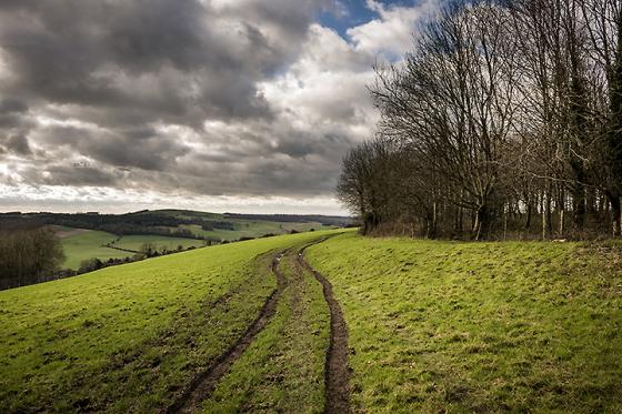
Pastscape description of the fort:
A small multivallate hillfort dating to the Iron Age, situated on a greensand spur which overlooks the River Rother. The elaborate hillfort defences completely enclose the spur, forming a north west-south east aligned, roughly rectangular interior area of circa 3.5 kilometres square. The most impressive defences are to the north east, where they were constructed across the gently sloping ground which forms the neck of the spur. They survive here as two parallel banks up to 11 metres wide, flanked by outer ditches. Part excavation in 1957 indicated that the earthern and rubble banks are revetted with locally extracted ironstone slabs. Access to the interior is by way of a staggered entrance formed by simple, causewayed gaps through the central part of the ramparts. The remaining defences are on a smaller scale, with the steeply-sided north western and south eastern edges of the spur enclosed mainly by a single bank and ditch. To the south west, the spur-edge rampart is argumented by a parallel, outer bank and ditch constructed circa 15 metres downslope. The ramparts have been disturbed in places by the subsequent construction and use of more recent tracks and paths. Later use of the monument is represented by at least six roughly circular platforms situated within the hillfort, shown by the archaeological excavations of 1957 to represent charcoal burning clamps dating to the post-medieval period. Scheduled.


