The fort is seen to centre far left, descending Creag nan Abhag to Glen Banchor
Image credit: Robert Gladstone
The fort is seen to centre far left, descending Creag nan Abhag to Glen Banchor

The ‘fort in its landscape looking toward The Cairngorms

The defences are better defined when seen in retrospect ascending Creag nan Abhag to approx NW.

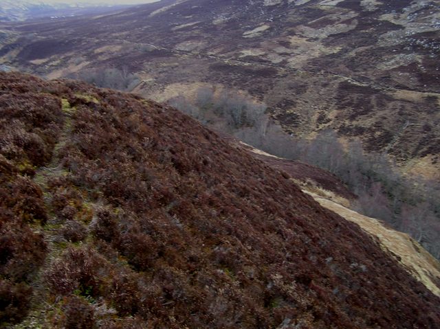
To be fair, Nature had taken care of any defences for the eastern flank, looking south(ish)


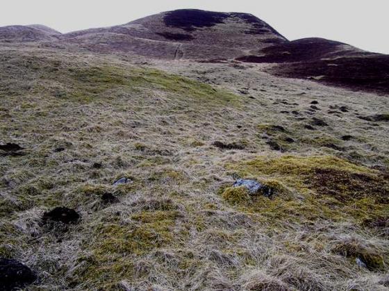
Looking approx eastward across the northern flank of the ‘fort

Looking north... despite the dodgy weather, the urge to explore further was strong.

Looking approx south from the hill fort.
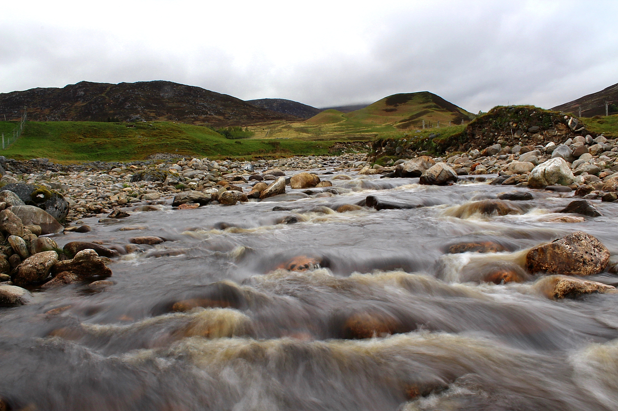
The approach to the hill fort heading north beside the Allt a’ Chaorainn
South west side of the fort.

The south side of the fort.

The west side, note the gap for the palisade, looking over the River Calder to Creagan Beag.

Looking east, the snow covered Cairngorms are hiding in the murkiness.

The south east flanks looking into the burn with the same name.

The south west part of the fort.
Looking straight down on the North East side to valley and stream.

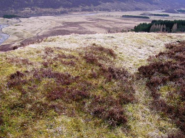
Looking from the slopes of the west down the Glen Banchor valley.

Taken from the wee hillock from the west of the fort. Fort in the middle, Creag Na Loin behind.

Taken from the cairn on the eastern side.

25/06/2014 – View upstream to Sidhean Mor Dail A’ Chaorainn palisaded enclosure.

25/06/2014 – Looking down from the enclosure

25/06/2016 – Sidhean Mor Dail A’ Chaorainn

The lower palisade trench.

The view down Glen Banchor from the “fort” interior.

Looking up from the foot of the site.
After a good look round the Iron Age cairn we squelched to the north of the small hill to climb Sidhean from the north west. Just a short steepish climb to some glorious views of one of my favourite places.
Obviously from the car park follow the previous directions and have a look at the wee cairns. Also look in the middle of the fort/enclosure and find a circular object that looks like a hut circle. Could this be Johnnie Blair’s garden?
Next its to the west and two more cairns in this fantastic prehistoric valley.
Visited 6/4/2018.
Sat at the eastern end of Glen Banchor, one of my favourite places on earth, is the delightfully named Sidhean Mor Dail A’ Chaorainn (The fairy knoll of the glen of the Rowan trees). How could you resist that?
Marked on the OS map as a fort, Canmore has it as a “Palisaded Enclosure”.
The remains of the palisade trenches are faint but visible as lumps ‘n bumps in the heather. The tennis court sized level top is featureless apart from a circular turf enclosure that Canmore ascribes no great age.
The best reason to visit this site is of course the views, which are spectacular in all directions. It’s also relatively easily to reach, just take the Glen road out of Newtonmore, there are a couple of car parks at the top of the glen. Leaving the car park continue along the road till you cross the bridge over the Allt a’ Chaorainn then turn right and follow the burn up to the site visible in front of you.
Tale about a man who lived and grew a garden on top of this enclosure in the early 19th Century