From Loch an Daill we headed south on the A865 and took the first road heading west.
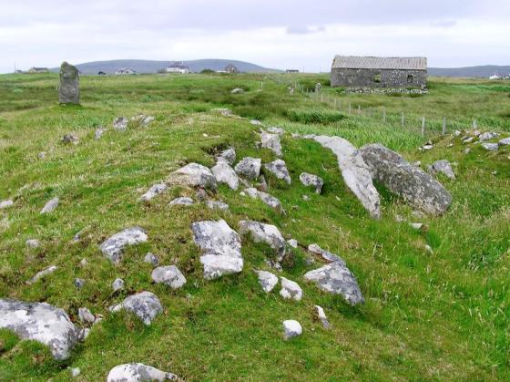
Similar to Loch an Daill Mary provided a parking space, or rather her shrine did, at the end of the road, or just before it headed south. From the shine I jumped the gate and headed south east, the site is easily spotted.
It has been a trip in which water levels have featured quite a bit, and this is a massive example of dropping water levels. What used to be loch has vanished and changed into a large marsh, perhaps you can get in from the south but looking at aerial photos on Canmore I’d suggest not trying.
However, I got as close as I could, before deciding it was unsafe.
What remains is a bit of a shambles, it appears to have been used for several functions, the outlines of buildings can be seen. It probably has been a cairn or a dun or a broch. Stones could easily have been recycled but as Canmore suggests a proper excavation is needed.
A bit of a what-if.
Visited 11/08/2023.


