Details of barrow on Pastscape
[ST 00553486] Wiveliscombe Barrow (NR) Brompton Regis 2. Bowl barrow 23 paces diameter, 8’ 6” high. (2)
A large well preserved bowl barrow 2.0m high. An excavation trench has recently been cut by an unknown person. See GP AO/65/182/5. Surveyed at 1:2500. (3)
ST 005348 Wiveliscombe Barrow, round barrow. Scheduled (4)ST 00563486. Brompton Regis 2. Wiveliscombe barrow listed, details as Auth 2. Visited by Grinsell 11th May 1952. He suspects that the name Wiveliscombe Barrow may possibly have been originated by the Ordnance Survey during the original survey of 1790-1810 for convenience of reference. It is named Eastern Barrow on the 1833 tithe map.
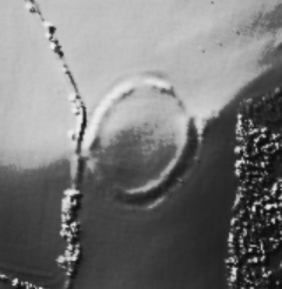
The Bronze Age bowl barrow described by the previous authorities was seen as an earthwork and mapped from aerial photographs. The excavation trench described by authority 3 was also visible. (6-7)
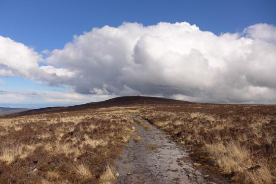
Wiveliscombe Barrow survives as a circular turf-covered mound 20.5 m in diameter and 2.3 m high. The barrow is well defined, and stands in the corner of an improved pasture field. Previous ploughing operations have cut into the base of the mound giving an abrupt end to the base of the scarp. Damage caused by ?sheep or animal burrowing has recently been repaired with patches of fresh soil. The excavation refered to by previous authorities is visible in the south-west quadrant of the barrow. It comprises a trench 7.8 m long by 2 m wide and 0.4 m deep. It runs south-west to north-east. Field visit as part of RCHME’s Exmoor Project, 12 March 1999. (8)