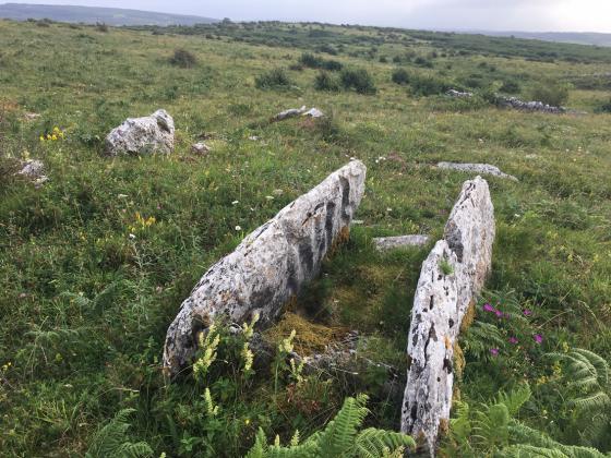
Fanyglavin Wedge Tomb, remains of the 2nd tomb just to the right
Fanyglavin Wedge Tomb, remains of the 2nd tomb just to the right

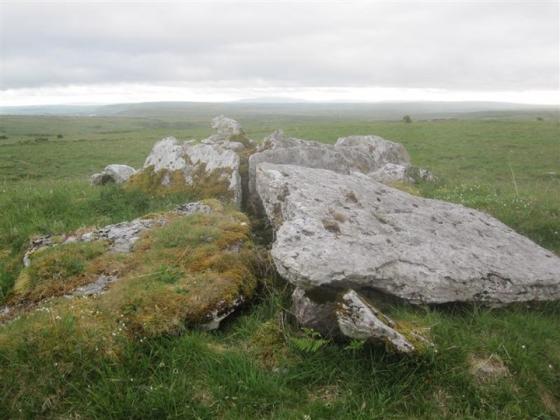
Fanyglavin 2nd Wedge Tomb ruined

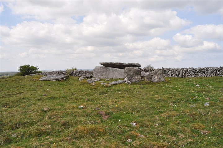
Fanyglavin 2nd Wedge Tomb ruined, main tomb just beyond

Fanyglavin 2nd Wedge Tomb ruined, main tomb just beyond

Fanyglavin 2nd Wedge Tomb ruined


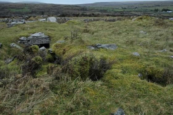
There are two wedge tombs side by side here, one is collapsed and very ruinous