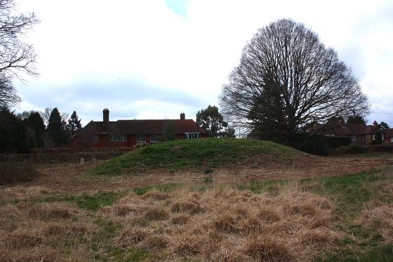
Looking East. This section is near the main road from the car park at West Stoke (nearest parking for the Kingley Vale Nature Reserve).
Image credit: A R Cane
Looking East. This section is near the main road from the car park at West Stoke (nearest parking for the Kingley Vale Nature Reserve).

As you can see this section is reasonably tall, just about two metres high at this point, but there are places where it’s barely visible and actually a ditch in other sections, as it’s name suggests.

View from the top of the dyke looking East.

Panorama running East to West.

The ditch stops just the other side of the road where it comes up against a stream and the edge of the grounds of Goodwood House.

Looking west through ‘The Valdoe’ from the main road near Goodwood House.
Further, and more diligent map reading, made me realise that this is actually much longer than I thought. I’d assumed that it began/ended at The Valdoe but in reality the whole thing is much longer and extends, albeit brokenly, Westwards beyond Lavant all the way to West Stoke, just South of Kingley Vale. So this mysterious ditch/dyke is actually around six to seven miles in length and not the two miles I’d originally stated. Also the part I looked at this time is a dyke and not a ditch, as it was in The Valdoe with a height of around two metres in places. It would be interesting, but I’m not sure if it’s possible, to walk it’s entire length though some of it passes through private land and there are no footpaths available. At some points it seems to disappear altogether, most notably at Lavant, but that might be due to the build up of the village over the centuries and the section of road through East Lavant corresponds almost exactly with the ‘presumed’ course of the ditch. More visits will ensue no doubt.
Although this is listed as a dyke (why is there no other option?) it is in fact a ditch as the name suggests and not just a small thing but a ditch which extends over 2 miles, though a little broken in places. The coordinates start in the west in ‘The Valdoe’ a small wood about a mile below The Trundle but it eventually peters out near Halnaker on Boxgrove Common as it meanders along the bottom of the South Downs. What it’s original purpose was nobody seems to be in agreement over and research has suggested that it was a defence against the Saxon invaders of the 5th Century but more commonly it is believed to have been built in the Iron Age and was either a boundary marker or again a quite sturdy piece of defence work. A lot of the middle section is difficult to get a look at as it’s mostly on private land and people are rather fond of guns in this neck of the woods. Judging by the state of the section in the Valdoe it’s also pretty silted up, but I’m hoping to have a look at the sections in the east some time soon.