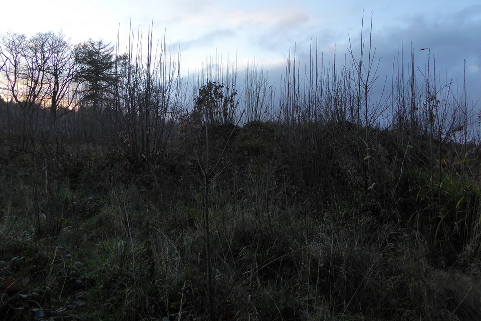
Failing winter light, looking back towards the hilltop site from the cleared area off the path to the west.
Image credit: A. Brookes (5.12.2020)
Failing winter light, looking back towards the hilltop site from the cleared area off the path to the west.

The western bank.

The western edge of the site, with the lighter green of the footpath/forestry track on the left.

There are various blocks of sandstone on the bank (see bottom right), which I imagine is the main construction material under the topsoil.

The southeastern arc of the bank.
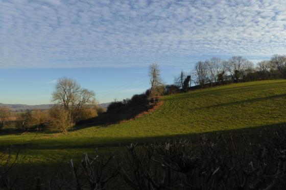
First sight, arriving from the east. The height of the bank is impressive.
Visited 5 December 2020 as dusk was approaching.
Nearing the end of an unexpectedly arduous section of the Gloucestershire Way from Mitcheldean to Huntley via the summit of May Hill, made difficult due to the incredibly slippery mud that seemed to coat every hillside and every field, which has had me on my arse three times in the first few miles.
The visit requires a detour from the Way at Gander’s Green, so I approach through the forestry to the southwest. The tracks are initially good and easy to walk, but then drop steeply to a little valley to the south of the earthwork. From here the going is hard, pools of water concealing sticky mud. Once I reach the bottom of the valley, the track climbing up towards the earthwork was so slippery with mud I begin to wonder if I’ll ever get up it. But like Macbeth, I’m stepped in mud so far that, should I wade no more, returning were as tedious as go o’er.
Eventually I round a bend and the gradient levels. From here it’s an easier walk to the earthwork, which turns out to be right next to the path. It’s been cleared of trees at some point, making it easy enough to follow the single bank round. Like all woodland sites that are not kept clear, it is already teeming with self-seeded brambles and what will no doubt eventually become more trees. It’s a well-preserved site, although I’d still not like to guess whether it’s Iron Age or medieval. It crowns the top of the little hill, but any panoramic views are sadly restricted by the trees on all sides.
The light is failing and I’m tired after the mud-slogged miles. But I enjoy the short visit here before plunging back into the woodland. Rather than retracing my steps down the mudslide southeast, I head westwards. The path soon becomes a wide and impassible pool, forcing a detour into a clear-felled area where I somehow manage to avoid tripping over hidden roots and stumps and eventually rejoin the path proper. It’s been a harder visit than I had expected, but it’s a nice site and worth the detour. A spring visit would probably be best, as long as it’s been dry.
Small defensive earthwork of possible Iron Age date on the summit of Castle Hill. The earthwork is accessible from a public footpath from Glasshouse, and from the Wysis Way path that skirts the north side of the hill. A short distance to the west stands the instantly recognisable May Hill, a landmark that can be seen from many miles around and from many directions.
It is however possible that the earthwork is a motte site of Saxon/early Norman date. I have found no record of any excavation that would help to establish the date more accurately.