Skip to content
Julian Cope
presents
The Modern
Antiquarian
Latest
Posts
Sites
Map
Blog
Forum
search
Search
⚠️
Sign in
more_horiz
United Kingdom
The Channel Islands
Jersey
La Table des Marthes
Dolmen / Quoit / Cromlech
expand_more
Nearest town:
Fortuneswell (152km NNW)
Latitude:
49° 10' 54 N
Longitude:
2° 14' 16 W
Added to TMA by
baza
Images (4)
Add
content
Images
baza
Apr 1, 2008
baza
Apr 1, 2008
baza
Apr 1, 2008
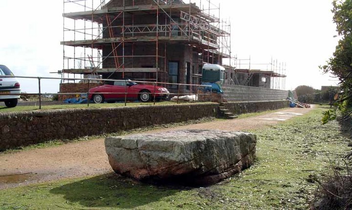
The noticeboard at the site
baza
Apr 1, 2008
Sites within 20km of
La Table des Marthes
La Sergente
Passage Grave
•
0.65km NE
photo
6
description
1
The Great Menhir
Standing Stone / Menhir
•
2.07km NE
description
1
link
1
The Little Menhir
Standing Stone / Menhir
•
2.29km NE
photo
4
The Ossuary
Cist
•
2.37km NE
photo
5
The Broken Menhir
Standing Stone / Menhir
•
2.4km NE
photo
3
Les Blanches Banques
2.41km NE
photo
1
description
1
La Tête des Quennevais
Ancient Village / Settlement / Misc. Earthwork
•
2.5km NE
Cherry Farm
Standing Stone / Menhir
•
4.42km NE
photo
2
description
1
La Hougue de Vinde
5.12km E
photo
4
description
2
Les Monts Grantez
Passage Grave
•
5.59km N
photo
5
La Hougue des Geonnais
Passage Grave
•
7.81km N
photo
4
Ville es Nouaux
7.96km ENE
photo
12
forum
1
description
1
Le Pinacle
Natural Rock Feature
•
7.98km NNW
photo
4
La Hougue Boëte
Tumulus (France and Brittany)
•
9.44km NE
photo
3
Le Dolmen de Mont Ube
Passage Grave
•
12.02km E
photo
5
description
1
La Blanche Pierre
Standing Stone / Menhir
•
12.1km E
photo
3
description
1
La Hougue des Platons
12.42km NE
photo
7
La Hougue Bie
Passage Grave
•
12.79km ENE
photo
11
description
6
link
2
La Pouquelaye de Faldouet
Passage Grave
•
15.49km ENE
photo
9
description
1
Le Dolmen du Couperon
Allee-Couverte
•
15.83km ENE
photo
7
description
2
link
1
search
I’m looking for…
location_on
photo
ondemand_video
forum
description
link