
Image Credit: Environment Agency copyright and/or database right 2015.
Image credit: Open Source Environment Agency LIDAR
Image Credit: Environment Agency copyright and/or database right 2015.

Middle bank, looking approx north. The inner can be seen to left, the outer curving around in the far distance.

Outer bank.

Outer north-eastern defences...

The much less substantial defences of the south-western flank, once apparently protected by impassable deep marsh, now drained.
The inner bank of main defences.... I do believe.


The outer bank and ditch are pretty substantial...

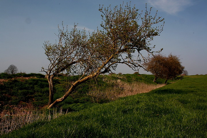
The outer defences to north-east(ish)

Towards the central bank to north...

Inner bank to east....

Here’s a novelty: at just two metres above sea level, the lowest hillfort in Britain.
If you’re in the area, I recommend you go and take a look. You wont see massive earthworks, but you will find well-defined banks and ditches within the flat, Fenland landscape.
Drive along the B1093 between Wimblington and Manea and you’ll see a signpost pointing down a farm track, passing Stitches Farm, to Stonea Camp.
There are information boards to read scattered amongst the defences as you wonder if Boudicca walked on this site 2,000 years ago.
