


Small cist/chamber 60 metres south-west of the main chamber.


The large standing stone 20 metres to the south of the collapsed chamber.


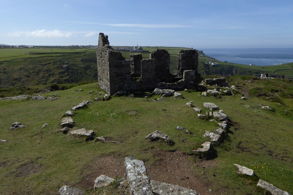
Looking towards the chimney crowning Cape Cornwall, with The Brisons beyond.
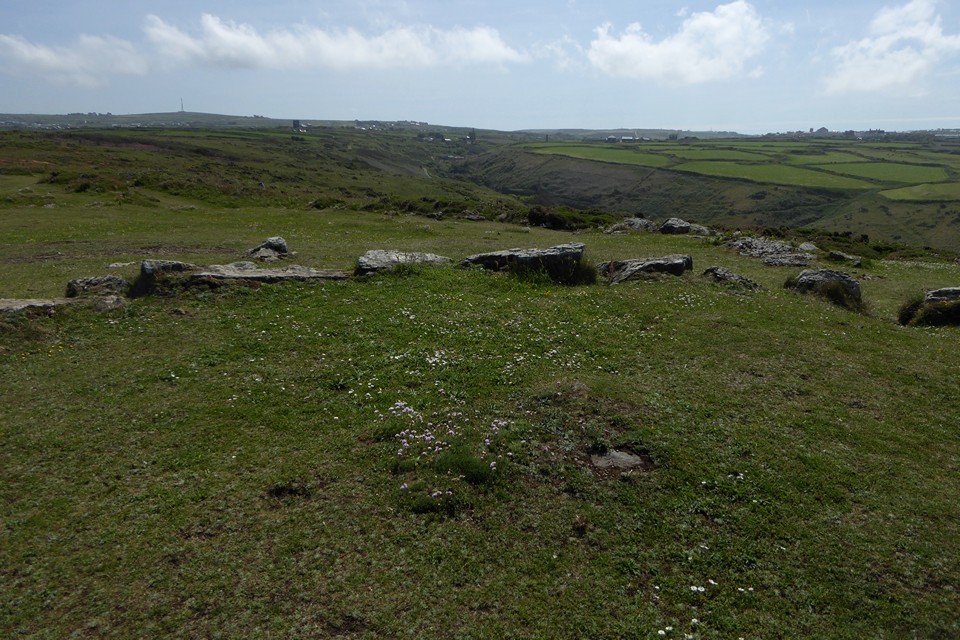
The centre of the circle, showing possible buried remains of a cist. Carn Bean with mast (site of a round barrow) and Carn Kenidjack can be seen on the left skyline. The steep Nancherrow valley runs through the centre of the image, with St Just over on the right.


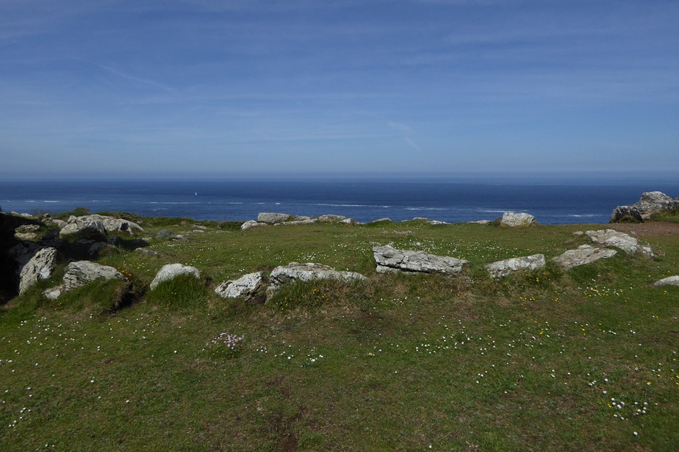
Detail of the granite kerbs.
Handy aerial view from the mine workings next to the circle.
We first walked this stretch of the coast in June 2001, but we didn’t visit Kenidjack Castle for some reason, and we must have walked right past the cairn circle without even realising it was there.
I intended to put this right a decade later in June 2011, when we did manage a visit to the excellent cliff castle, but I failed to find this in tall undergrowth around the ruined mine buildings. With hindsight I was probably looking in the wrong place.
Seeing Costa’s photos a couple of years ago had me kicking myself. So 20 years after first walking past, and 10 years (less one day) to the previous failed attempt, I’m definitely not missing out this time. We walk from the main road at Botallack, round the coast path past the evocative decaying buildings of Botallack mine. It’s an easy walk to come here, and there are a fair few folks about in the glorious Summer sunshine.
I can’t believe I’ve missed this before. The site is completely clear, surrounded by cropped grass. The granite blocks making up the kerb are big, similar to several of the other kerbed cairns of West Penwith. The kerb appears to be mostly complete, although there’s no sign of any central mound that may once have filled the inside.
Although obscured a bit by the mine building, there is a fine view of Cape Cornwall with The Brisons beyond. Looking back inland, the most prominent feature is Carn Bean (with barrow) and Carn Kenidjack rock outcrop next to it. The ground drops very steeply to the south, down to the steep-sided valley of Nancherrow stream, which has wended its way from the edge of the moors and through Tregeseal.
From here we head down to the cliff fort for a revisit, then come back for a second look. An excellent monument, I can’t quite believe it’s taken me 20 years to come and see it.
Onwards to Cape Cornwall and Ballowall barrow.


After good look at the cairn at Cnoc Na Moine I headed back to the forestry track by the way I arrived. Head north on the track until the deer gate, go through and keep your eyes on the deer fence to the west for a small gap which can be easily climbed through. Keep heading west on a path of sorts until the trees end. In front will be Dun Chliabhain.
Despite being very chilly and with an occasional snow flurry it was a glorious day. It is an easy climb heading west to the impressive site.
Defences to the north include a cliff, part of the stone wall has fallen over the side. The wall in the east, home to the entrance, and south is impressive being well over 3.5 meters wide, there is another wall to south beneath the small hill, this appears to be an unfinished defence, tapering out towards the east. Western defences consist of a lower wall with the higher wall reducing in size towards the north.
Stunning views to the north west of snow covered mountains, clear vision to the forts to the south and to the east there is the Beauly Firth. These hills are covered in prehistoric sites, these sites are also in some of Scotland’s best scenery.
Lovely site.
Visited 02/01/2022.


The Gelli-nedd hillfort rises beyond to the southwest.. with the Plas-y-gors cairn sited to the (approx) northwest (right) and those at Ysbugor-wen beyond the wall to the south (left), a pretty good circular walk can be improvised from Ystradfellte.

A pretty decent enough pair of cairns – one clearly the primary – set to the north of those at Ysgubor-wen..
