
I've only been the once but I parked close to the farmhouse at the end of the track, I would suggest asking permission when you get there just to be polite.
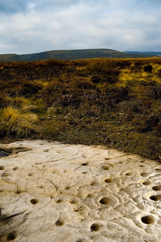
If you want maps and diagrams of the stones then get hold of 'Prehistoric Rock Art in the Northern Dales' by Paul and Barbara Brown but a word of warning about the grid references. I've always found Brown's co-ordinates very acurate but for some reason a few of the Barningham Moor ones are way out. I think it's just the ones in the Wash Beck area but they range from 20m to 200m adrift. I ended up cross referencing a load of the stones in the book with the co-ordinates on the ERA website and my own GPS to figure out what was going on. It looks like there was some kind of blip in the grid refs in the gazetteer as in the drawn maps the stones are shown in the correct locations. So, double check your grid refs with ERA if you're plotting the stones on a map or using GPS.
ERA - http://ads.ahds.ac.uk/era/
-Chris
