Open Source Environment agency LIDAR
Image credit: © Environment Agency copyright and/or database right 2015.
Open Source Environment agency LIDAR

mar 2002


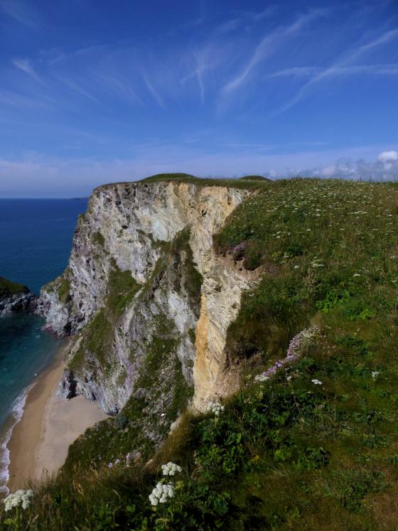
Close as I could get. think this site is best viewed from 3000 feet!