Image credit: John Miller


New view of the triangle on the stone. On close inspection a smaller traingle can be seen at its apex.
Mrs Pike whats to know where the D.H.D and the Stargate has gone ?

Side view of the stone looking towards Black Coppice.
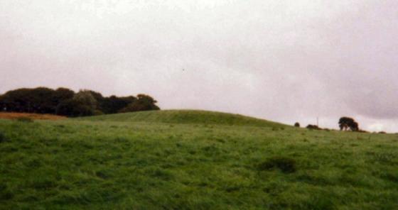
A wonderfully sited standing stone on Stronstrey bank, if this is Neolithic it has had an amazing escape situated as it is in the middle of & surrounded by post medieval stone workings. Personally I think I think it’s contemporary with the surrounding stone workings and has been standing for a few hundred years at most.
Easy to find in winter, it lies the otherside of the fence that runs along the bank. A very big stone with a wide base, and it is very weathered on top. It would have taken a great effort to place it there. It would be a great setting for a stone circle with the valley and Grey Heights beyond, if any evidence of other stones could be found.
A quick note about the incised triangle, if you look on the map the Pike Stones, Round Loaf, and Black Coppice are equal distances away from each other creating an equalateral triangle, of which the Bank Stone could parody.
Take a look on yer Explorer map
One for a dryer day.
Dave 3rd March 2004
This stone has ‘bothered’ my for quite a few year.
Visible from Grey Heights (ChorleyNab) and from the Moor Road near Watermans Cottage but difficult to find on Anglezarke Moor.
The stone is located on the southern end of Stronstery Bank on the edge of the plateau below Grain Pole Hill. The stone stands about 4 foot tall and has a triangle incised on it. I’m not sure what this represents or indicates, but is it showing the location of the Pikestone, Round Loaf and another site ?.
The following comment was left on “Anglezarle Misc 8” which I think describes this stone. Explains the carvings and that the stone was standing 100 odd years ago...
“Sadly, much nonsense has been talked about with regard to these stones.
There was a man called Andrew Mather who would have been about 120 if he was still alive today. Some 45-50 years ago he told me that when he was a boy, he had two friends and they called themselves ‘The Triangle Gang.‘
One of their favourite places to meet and camp was a small depression towards the southern end of Stronstrey Bank where there was a fairly tall upright stone. One of the boys carved a small triangle on the face of the rock as a symbol of their ‘club.’ Some time later, they carved a much larger triangle on the same rock.”
The remains of an old ‘Cairnfield’ also lie here.