
The northwestern panorama of the Black Mountains from Pen-rhiw-wen (this is taken from just outside the fort to avoid the trees).
Image credit: A. Brookes (25.3.2023)
The northwestern panorama of the Black Mountains from Pen-rhiw-wen (this is taken from just outside the fort to avoid the trees).

Fleeting sunshine on the outer bank.


There’s a break in the banks where a stream cuts through, it’s not clear whether this was the case when the fort was in use, but the stream follows a natural course above the earthworks.

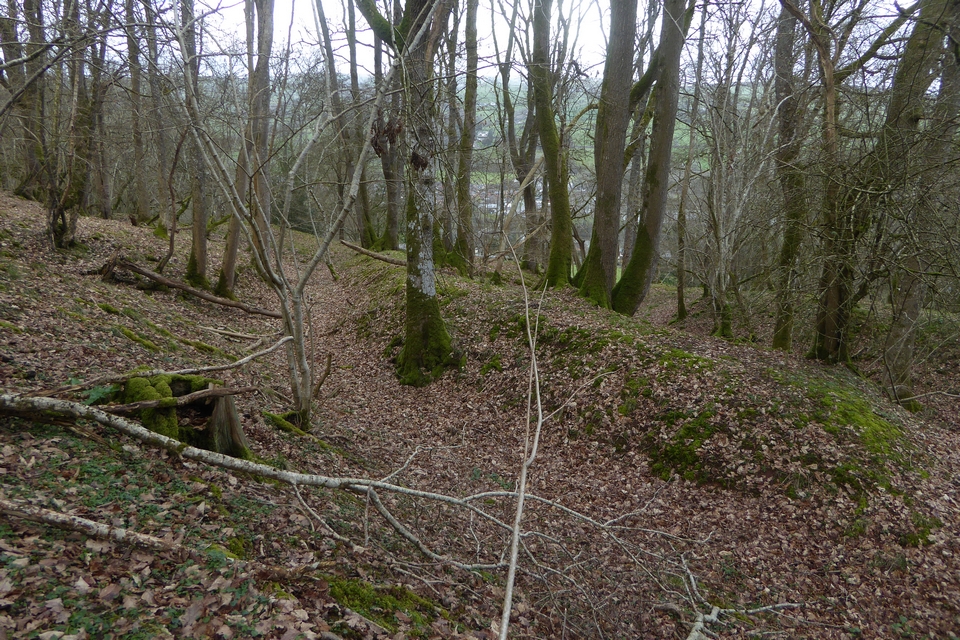
Looking along the inner bank.

The open interior of the fort, looking towards Pen y Beacon and Twmpa, Black Mountains.

The inner bank and ditch.

The northwestern corner of the fort.
Multiple banks on the western side of the fort.
Directions:
East of Llyswen – near the A470 / A4079 junction. South of Builth Wells.
On the road near Boughrood there are two places to park. Either outside the pub (which has a warning notice advising that parking is for patrons only) or at the school. As I was driving from Boughrood I didn’t know about the pub parking so chose to park at the school. As the children were in school I don’t suppose this was a good idea as you have to be careful these days in case people get the wrong idea.
I crossed the road and headed for the newly installed wooden gate and the newly cleared footpath going up the hill. The path was very muddy despite the nice weather – a dry stream bed ran alongside the path – no doubt in full flow in wet weather!
At the top of the path a stile on the left leads you into a field. You then have to walk up the very, very steep field until you reach the trees and the next stile. By the time I reached the stile I was hot, sweaty and panting – not as young as I used to be!
The people renovating the footpath have clearly not reached this far yet as there is no trace of a path through the overgrown trees. I battled my way through heading in a north-west direction. As luck would have it I came out at the right place – next to another stile. From here the enclosure could be easily seen on the other side of a barbed wire fence. The banks are overgrown with trees but easy enough to make out.
What would be great views are completely blocked by the trees.
I didn’t stay long as I was conscious of my car being parked at the school and I knew it was nearly lunch time. Time to go before any awkward questions are asked!
You need to be mobile and fairly fit to visit this site.
Best park somewhere more sensible as well.
COFLEIN state:
A roughly oval enclosure, 90m by 100m, defined by double banks and ditches, which merge into scarps on the east, downhill side.
I visited Llyswen earlier this year on my way home from a day looking at ‘old stones’ around the Hay On Wye area. There is a public right of way running to the west of the site but not directly to it. I didn’t have time to walk up to the site and hoped to grab a view from Llyswen. Unfortunately the whole hilltop is covered with trees and there was little to see. In fact from Llyswen itself I couldn’t even see the hilltop due to all the trees in the village. There is however a pretty church in the village which could be worth a look?


