
The rock basins on top of the Thimble Stones, probably the result of natural erosion.
Image credit: Mark Johnstone

The rock basins on top of the Thimble Stones, probably the result of natural erosion.

A rock basin on top of a Thimble Stone.

A double Cup & Ring Marking with a Cup Marking directly above on The Spiral Stone.

The Doon (Twynholm) Hillfort as viewed from the A75.

Ascending Doon Hill from E towards The Doon (Twynholm) Hillfort.


The featureless inner enclosure of The Doon (Twynholm).

The Taxing Stone, adjacent to Stranraer Coastal Path, looking S to Cairnryan.

Stalldown Stone Row viewed from NW across Stalldown Stone Row Cairn NW. The hollow in the top of the cairn is evident. Stalldown Stone Row Cairn NE is visible centre frame just below the horizon.

Stalldown Stone Row Cairn NW viewed from E.

The kerb of Stalldown Stone Row Cairn NW is delineated by c. 1.5 feet high stones.

Stalldown cairn circle in the context of Stalldown Stone Row, viewed from S.

Stalldown cairn circle viewed from S. Stalldown Stone Row recommences N of the cairn. The hiatus in the stone row suggests that Stalldown cairn circle was a site of ritual importance.

Stalldown Stone Row viewed from Stalldown Stone Row Cairn NE.

Stalldown Stone Row Cairn NE in its moorland setting.

The excavated interior of Stalldown Stone Row Cairn NE.

The central hollow in Stalldown Stone Row Cairn NE. It may be the site of a removed cist.

Stalldown Stone Row Cairn S in situ.

The grassy low lying remains of Stalldown Stone Row Cairn S.
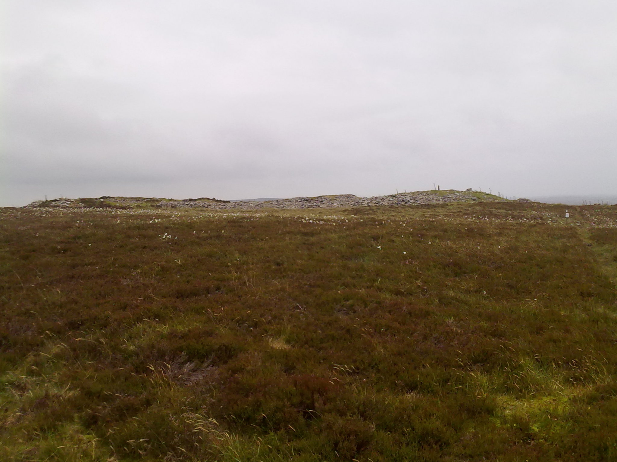
South Yarrows S Long Cairn profile along the E-W Axis viewed from S.

The entrance to South Yarrows Broch and its intra-mural passage.


A small vegetation covered mound on Slewcairn NE.


The River Camel flows past the Slaughter Bridge Stone.

The Slaughter Bridge Stone lies beside the River Camel.

A recumbent triangular stone located within 5 yards of the earthfast triangular stone. Are they stones shaped by man?

A squat triangular stone located in the vicinity of Sibleyback Menhir.

The narrow edge of Sheffield Menhir.

The boundary wall is built around Sheffield Menhir.

Sheffield Menhir overgrown by ivy.

A cluster of small Cup Markings on Rubha Charnain Panel.

Double Cup Marking found on Rubha Charnain panel.

Interpretation panel of Roches Moutonnees at Dulnain Bridge.

A line of Roches Moutonnees viewed along the shallow slopes.

The broad humpback top of a Roche Moutonnee.
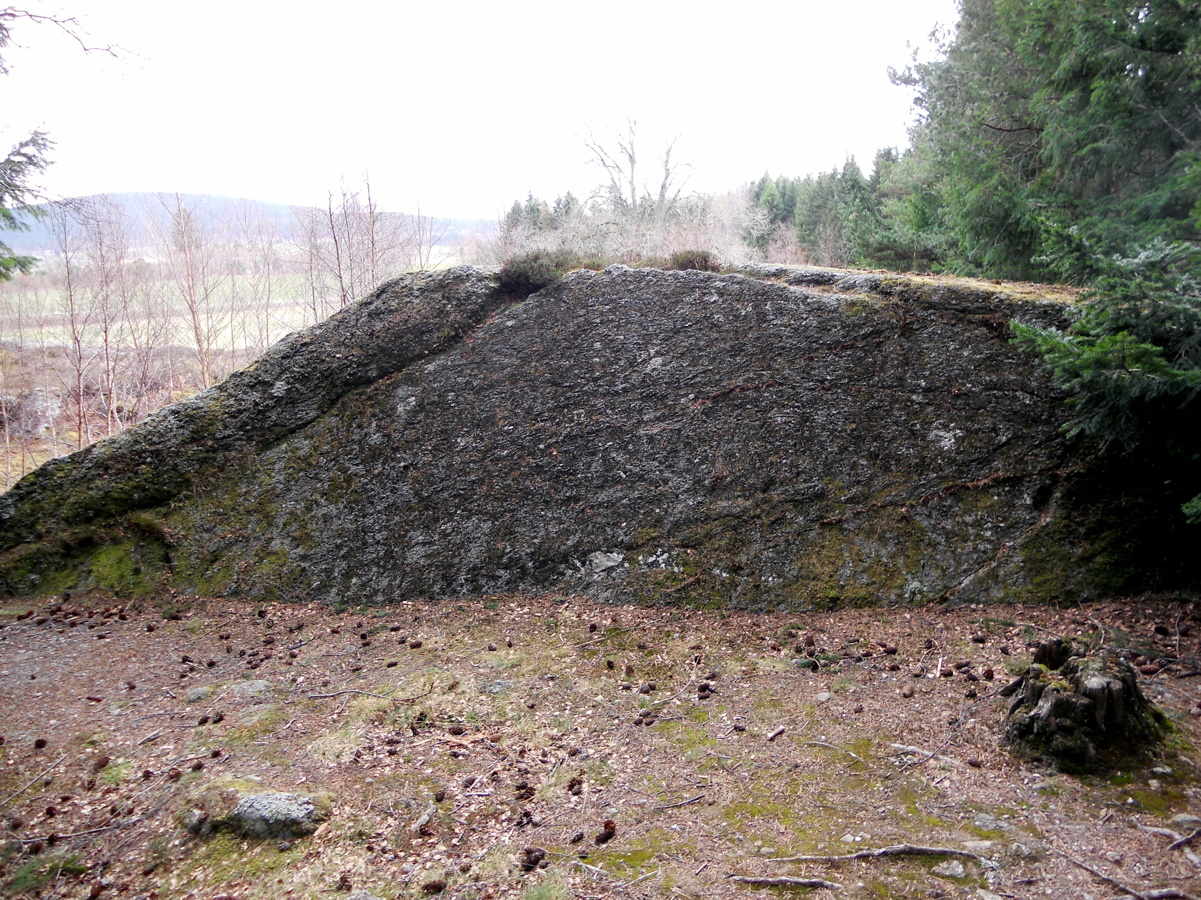
A view of the steep lee side of a Roche Moutonnee.

Several Cup and Ring Marks are evident on Robin Hood’s Stone directly above the plaque.

The narrow edge of Redhouse NE, measuring up to 1.5 feet, supports the capstone theory.

The broad face of Redhouse NE resembles a capstone.


