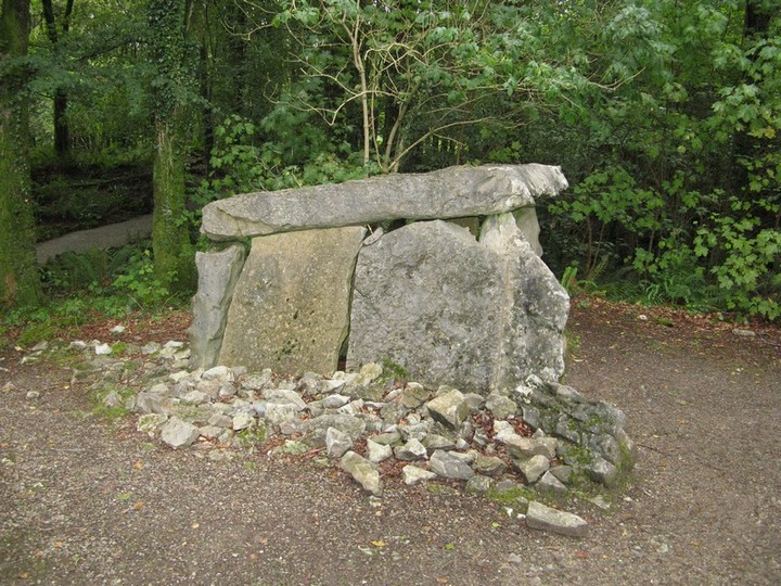


From on top of the rock you can clearly see Longstone in Tipperary.

The church beside the rock is dedicated to St. Bridget

There is a little rock outcrop at the top of the hill beside this stone and you can clearly see south to Knockfennel and Lough Gur

The most northernly of the stones, its in a very marshy area with the camoge river only a few hundred metres away

The next stone at the base of the hill

The most southernly of the 5 stones, its up at a height and you can clearly see Knockroe to the North

This is the middle of the 5 stones shown on the OS map


Looking south towards these mountains (Ballyhouras I think, remind me to go look it up)


One of five ringforts on friars hill. This is one is a good example.

The friary that this hill is named after, seemingly its original name was Teamhair Luachra


Looking south from the standing stone

Friarstown standing stone, its about 1.5m high by about the same width, you can see one of the ringforts in the background


This rock outcrop appears to be what can be seen from the ground, the cairn itself is much smaller.

The cairn on top of Monavullagh in the middle of a cloud.

Looking into the valley to the north, note the quartz in the cairn.

Looking north-west towards the cairns on top of the mountain which are not visible from here.

Standing stone with Fourwinds for perspective

Side on to the north.

Standing stone with the rising peak of Monavullagh to the North-West.


The circle is split in two i presume because the fields are owned by different people.
The state of repair varies between the two landowners


“Dougal, these are small cows the other cows are far away”!


