
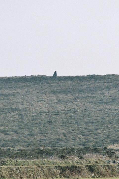
Walking from the top of Wideford Hill or from the Old Finstown Road, the cairn appears on the right
Image credit: Tim Clark
Walking from the top of Wideford Hill or from the Old Finstown Road, the cairn appears on the right

The entrance has wire stopping you getting in – someone’s already inside with the ‘municipal’ torch though

As the original entrance is fenced off, they help you find the hatch to get in....

It’s a bit of a drop – good job there’s a ladder....

It’s in a bit of a ‘commanding’ position.... Facing Finstown – Cuween Hill where the Fairy Knowe sits is about 3/4 left, right of centre is the Bay of Firth opening into Wide Firth


Lovely spot in good weather – Loch of Boardhouse in background

Approaching from the road – ‘cove’ left of RH stone

All the remaining stones, with the ‘cove’ in the foreground

The famous large stones with Brogar visible on left horizon and the Watch Stone left of RH stone – what a complex is, esp if imagined without the buildings and with all the stones left!

The ‘cove’ with the (strangely to me) controversial angled stone in the foreground


The ‘cove’ with the Watch stone right next to it, thanks to big lens!

Amazing how little sign there is of what was once a substantial henge – this is the most noticeable bit (Watch Stone in background)


Approaching from Chun Castle with disused engine house and Morvah in background


Approaching Lanyon on path from Bosiliack Barrow

Nine Ladies of Boskednan on horizon from Mulfra

The Great U from low angle framing western stones against horizon – the ‘bottom’ of the U is barely visible, the site is so big!


Eastern stones leading away to northern stones forming one side and bottom of U

Eastern stones from ‘bottom’ of U, looking southish

The ‘bottom’ (north) of the U, looking roughly east

Western stones from ‘bottom’ of U (looking southish)


From east – Brough of Birsay in background

Overview from west, workshop in foreground

Overview from east

Rainbow over the ‘workshop‘

House 9 – note beds recessed into the midden walls denoting it as an earlier design (it’s also on a lower level)

House 2 (I think – the names aren’t exactly memorable) showing how close the subsidence/erosion of the coast got to the village


Approaching Yarso, with Eynhallow and then mainland in the background – a ‘powerful’ spot


Like several other Orkney tombs, the roof has been replaced with concrete, but here part of the front of the tomb has also been reconstructed

TT is the easiest of the tombs to spot from the ferry

Although it’s a bit underwhelming close-up, Rowiegar is clearly visible from the ferry, and even from Gurness and Evie beach on mainland

The mound from the north, Orkney mainland in background (the cross thing is a ‘rustic’ little ‘Knowe of Rowiegar’ sign)

Approaching mound and exposed stones from east
