


stone circle on approach to Tal y fan, Quarry track.


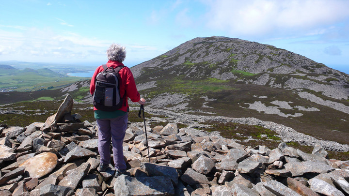
My mam for scale, looking from the Bronze age cairn towards the huts and Yr Eifl beyond, the cairn on Yr Eifl is visible.


A smaller entrance on the northwest side of the hill. Anglesey in the distance.


The incredible view along the coast from the defensive wall to Snowdonia.

The bronze age cairn on top of the fort, evidence the hill had been used at a much earlier time than the Iron age.

Hut groups clearly below, with defensive wall and
Yr Eifl beyond.

Looking South from the wall with Mynydd Carnguwch in the near distance.


Looking west to Nant Gwrtheyrn.

field systems in the Nant.


Trig at the top, to the left of this is the embankment and hollow of the settlement. A very good information board just in front of the trig.


Coastal path running along the front to Aberdesach.
See the rim of the defensive bank running from the left.

Dinas from the sea shore. Note sign saying: careful now!

The top embankment, looking back to the mountains. The original entrance can clearly be seen in the centre.


dec 07


dec 07


ty mawr hut group


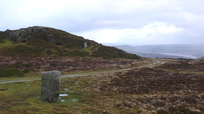
standing stone on ancient pathway beneath the quarry.