juamei

juamei

All posts expand_more 551-600 of 1,035 posts

Link

United Kingdom
The Heritage Journal

How To: Report Dumped Rubbish or Damage to a Heritage Site

An article I wrote which details how to report damage or litter at prehistoric sites that you may find as you work your way through the sites on TMA. In short:

1. Take lots of photos.
2. Take 5 minutes to briefly write down the following:
- date
- site name
- site location (an OS ref will do)
- type of crime
- extent of crime
3. Ring the police on 999 if its happening right now and on 101 if its already happened. You do not have to give your name.

Watch the Transit of Venus from Mam Tor

On 6th June there will be a very rare astronomical event: a transit of the planet Venus across the face of the Sun. The last transit of Venus occurred on June 8th in 2004, and the next one visible from the UK will occur on 8th December 2125 (although there is another transit in 2117 which won’t be visible from the UK). The 2012 transit of Venus will be in progress by the time the Sun rises in the UK at 4:50am, and will be over by 5:55am. This means that only the very final stages of the transit will be visible from the UK, weather permitting.

The National Trust has given permission for representatives of the Peak District National Park Authority’s Dark Skies project to observe the 2012 transit of Venus from the summit of Mam Tor. Several astronomers will be on hand from 4:30am with telescopes and special glasses to allow members of the public, weather permitting, to view the transit of Venus.

peakdistrictnt.blogspot.co.uk/2012/05/mam-tor-and-transit-of-venus.html

Image of Mam Tor (Hillfort) by juamei

Mam Tor

Hillfort

Mam Tor (left of centre) standing proud in the distance framed by Gautries Hill and Eldon Hill. Am stood on a hill over looking the Bullring (Bibbington Hill?)... In the other direction Black Edge towers over Buxton and Lismore Fields. A prehistoric landscape and my jog to work...

Link

Arbor Low
Stone Circle
Arbor Low Environs Project

Welcome to the Arbor Low Environs Project website. This is a new project which will be exploring the landscape surrounding the henge of Arbor Low in the Peak District. The project is a collaboration between archaeologists, students, volunteers and farmers.

The project has a number of questions which it seeks to address, including how has this landscape been experienced through time? For some it seems that a monument such as Arbor Low exists in isolation, built by unknown hands at some unknown point in time in the past, for some as yet unknown reason. This project will be bringing together the various strands of what we do know and trying to develop a new, broader understanding of not only the monument but the landscape around it.

==

Unfortunately the 2012 digging season is over but they are planning 5 years of work.

Staden

[visited 18/03/12] Well this is a delight I’ve been meaning to get to for a long time. Previously I’d made it to within sight (just) from the footpath and before the estate was expanded, I’d stood and stared in its general direction from a carpark. Nothing like getting up close and personal though, especially with this site which is clearly visible closeup despite its denuded state. I hadn’t noticed the amazing view when I’d been near here before. We are up quite high here, so you look across Buxton in the dip, along Brown Edge and over to the gritstone hills 7 miles or so to the North.

Its a big circularish monument crossing a small shallow dry valley, together with a perculiar bank with a 90degree bend heading off to the north east. Opinion is divided but seems to be coming down in favour of an Iron age date for this. Several things about it to tend me towards that also; henges don’t tend to lie across a dip, the bank & ditch seem unusually thin and defined for their height for a henge, it’s circle is deformed unlike Arbor Low and the Bullring and the weird attached bank would be fairly unique. This could easily be contempory to similar sized Late Bronze Age/Iron Age enclosures nearby such as that on Eldon Hill.

Access is easyish from Dukes Drive via the caravan park, up the footpath and through the farm. As this is off the footpath, permission should be sort at the farm.

Miscellaneous

The Tong
Long Barrow

Listed on the scheduled monuments register as the following:

“The monument is situated on the limestone plateau of Derbyshire, north of Wye Dale, and includes a Bronze Age bowl barrow and a Neolithic long barrow within a single constraint area. The bowl barrow is a roughly circular mound with a diameter of c.15m and a height of c.1m. It is superimposed on the south-eastern end of the long barrow which is c.0.5m high and measures c.40m long from north-west to south-east and ranges from c.20m at the wider, south-eastern end to c.10m at the narrower, north-western end. There has been no definitely recorded excavation of the monument but both barrows have been identified by their form and by their similarity to other known examples, by which the monument can be dated to the Neolithic and Bronze Age periods. Both barrows have been somewhat disturbed by stone robbing, either for walling at the time of the Enclosures or to feed the limekiln in the adjacent field. The drystone wall crossing the northern edge of the monument is excluded from the scheduling but the ground underneath is included.”

Another Peak District bronze age insertion on an older neolithic barrow.

Pike Low

[visited 29/1/12] What on earth happened at the top of this hill? I bet 300 years ago there was a ridge, with a nice big barrow and a track next to it. Now there’s a dirty gash of a road, a weird standing stone and what looks like the remains of a quarry. The stone, to me, looks modern, way too square for my tastes anyway. I couldn’t even make out the outline of the barrow, if this was done by “excavators” they really worked this one over. If it is a quarry, the stone is probably from that phase of destruction.

Access is a short walk from a layby either side of the ridge. Once I got close I couldn’t even be bothered to get into the field so just climbed the 3m verge of the road to get moderately close.

[edit] PS Good views though.

Ginclough

[visited 29/1/12] This is to all intents and purposes a boulder by the side of a busy road with some views. If the road and the wall weren’t here, it would still be a boulder, but at least you’d get some lovely views and nice surroundings. Is it Prehistoric though? Its certainly a different shape and feel to the Murder Stone and Whaley Bridge stone less than 5 miles away. With a different positioning in the landscape too. However, could quite easily be a waymarker for the track the main road turned into.

Access is for the stupid. There is no public parking in Ginclough, so you either have a longish walk (rubbish reward ratio), perch on the side of a busy fast road or do what I did and reverse into the track next to the stone from the main road. The benefit of which means no stiles and a 10 second walk.

Murder Stone

[visited 29/1/12] What a glorious little stone with an equally glorious view. Its a similar profile to the near-by Whaley Bridge stone and sits in a similarish position, this one having a wider view. Its on a little knoll next to the footpath, so you may have to do a quick ninja run to get right next to it.

It’s yet another shouldered head of valley stone as well, this one made me seriously think there could be something in the stone representing an ancestor idea. Give it a biodegradable head and you’ve got a symbol that can look over your land, that can be seen from a fair way away.

Access should be easy, there are no stiles from the road, but there is a shut gate into the field then a short steepish climb. There is a space for a car to park just up the road from the farm, I however headed over from kettleshulme via the footpaths. Again this should be straight forward, just aim for the one that comes out nearest the farm, not the one the other side as this takes you through a swamp.

Eldon Hill Enclosure

[visited 8/1/12] Without a GPS and with blanket mist, I found this by educated luck, basically heading downhill in the right direction from the main barrow. Its a fairly small enclosure, presumably designed to keep cattle penned in as the high land immediately next to it would have made defensive use very difficult. The banks that are left look to be in good condition, though I didn’t walk the whole thing as I was getting rushed for time by this point.

Access is the same as the rest of Eldon Hill.

Eldon Hill

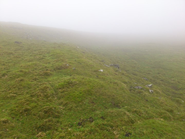
[visited 8/1/12] I came up here in blanket mist, with visibility down to 40-50 metres, but I still found both definate barrows on top of the hill.

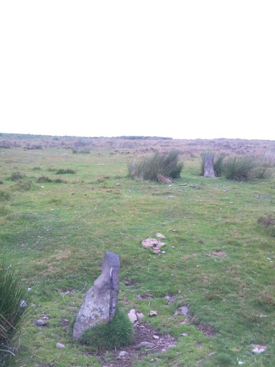
First the small “later” barrow to the East, clearly defined and reminiscent of some in the cairn fields in the more southern and eastern moors of the peaks. In the mist watch out for mine workings and just head to the high bit at the East end of the hill. Not worth the trip on its own I have to say, but worth seeing if you are up here.

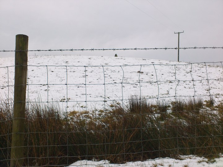
Secondly I headed for the bigger barrow, keeping in mind it was on the only high point to the West, I tried to keep on the highest points and headed off into the gloom. Via an accidental detour halfway down the slope towards Eldon hole, I found the bigger barrow. This is another good sized barrow in the Northern peaks, of a similar size to Cow low, Lord’s seat et al. The obligatory massive hole in the middle didn’t disapoint, but the much more recent cairn on top was a sad sight for me. I presume because of the hole and maybe the quarry, walkers felt marking this point in the mist is necessary. To be fair to them, it certainly helps find it!

Via Eldon Hill enclosure I made the obligatory trip to Eldon Hole. A scary open wound into the centre of the earth, no wonder this hill was once called Elvedon Hill. This is definately an entranceway into the nether realm.

Access is across a few fields. I parked near the top of Winnets Pass which is a 40 minute trip to the top of the hill. You could probably park near Perryfoot and come at it from that direction. Stiles abound from either way, but its pretty firm under foot.