
Most of this complex is a ruin of tumbled walls, but the outlines of many of the wags are still easy to make out.
Image credit: Les Hamilton
Most of this complex is a ruin of tumbled walls, but the outlines of many of the wags are still easy to make out.

A view over the best presenved of the longhouses (wags) from the bank on its east.

Ground level view into the best preserved longhouse (wag) showing wall courses and monoliths.

The small headland bearing the remains of Coill’ach a’ Chuil.

These large stones are typical of this broch, though little walling structure remains.

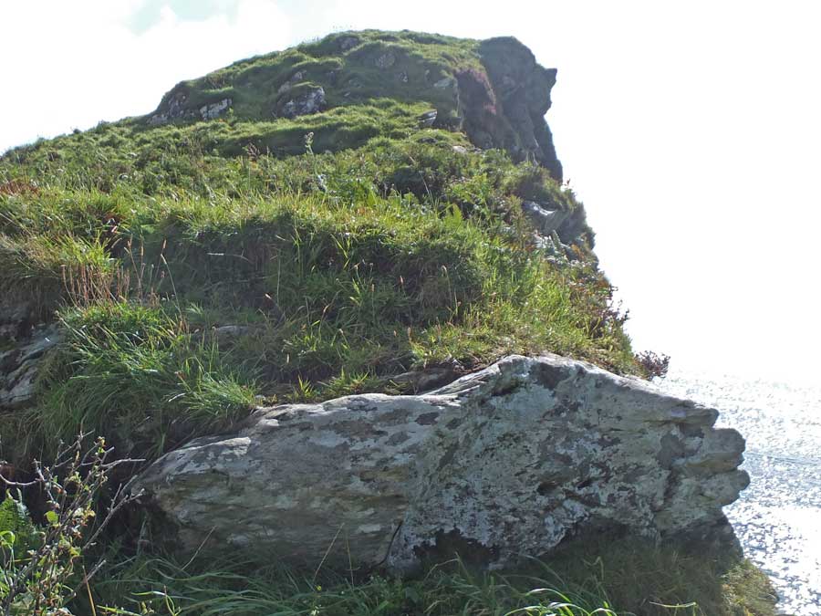
Large boulders immediately above the waterline mark out the periphery of the broch.

Any fine structural details of the broch are concealed under rank bracken.

Yet more large boulders marking out the base of the structure.

The upper level of the broch peeks out from a mass of bracken.

An overview of the top of the broch where many large stones remain in view.


The sole remaining block of the wall that originally guarded the neck of the connecting ridge.


Dun a’Chleirich, not visible in this photo, is gained by crossing this field to a walkers path that contours leftwards towards the shore.

Only from the west do you get a view of the bedrock of Dun a’Chleirich unmasked by bracken.

Dun a’Chleirich as seen from the shore to its east.

The eastern flank of Dun a’Chleirich viewed from the shore.

Outer walling blocks encountered during the ascent of Dun a’Chleirich from the near point of the path.

Inner facing stones encountered during the ascent of the dun.

Walling on the east of the dun rises to at least six courses in height.

This is a composite of three photographs detailing a stretch of the moss covered walling on the eastern flank of Dun a’Chleirich.

This is the view on approaching the dun. Cnoc Na Cairidh is the small mound at the left of this photograph. The large mound is a natural undulation on the coastline.


Just the barest suggestion of defensive footings round the dun.

View over Cnoc Na Cairidh out over Loch Bay.

Possible foundation footings of a long gone defensive wall on the sea-facing side of the dun.

The dun is defended by a steep slope on its north, towards the Bay River.

The Ballone broch mound, viewed from the northeast. The excavated flank of the mound is clearly visible.


This section of stonework was uncovered when excavations were made into the mound during road building operations. Theyare probably part of the broch wall.


Looking down on Dun Mhaigh from farther up the ridge, with the Kyle of Tongue as a backdrop.


The broch entrance portal seen from within the structure.


Looking down on the entrance passage, which has a number of missing lintels, with the guard cell prominent.

Looking towards the intra-mural staircase from the broch rampart opposite.

This is the view across the interior of Dun Mhaigh towards Ben Loyal. The internal stair is at far left and the entrance near centre.

Upper Latheron broch – little more than a grassy mound.

An exposure wall courses consisting of large blocks.


