

31/05/2018 – View over the cairn on Dalpeddar Hill to Cairn Hill in the distance. I’d love to know if this one is ancient as well.


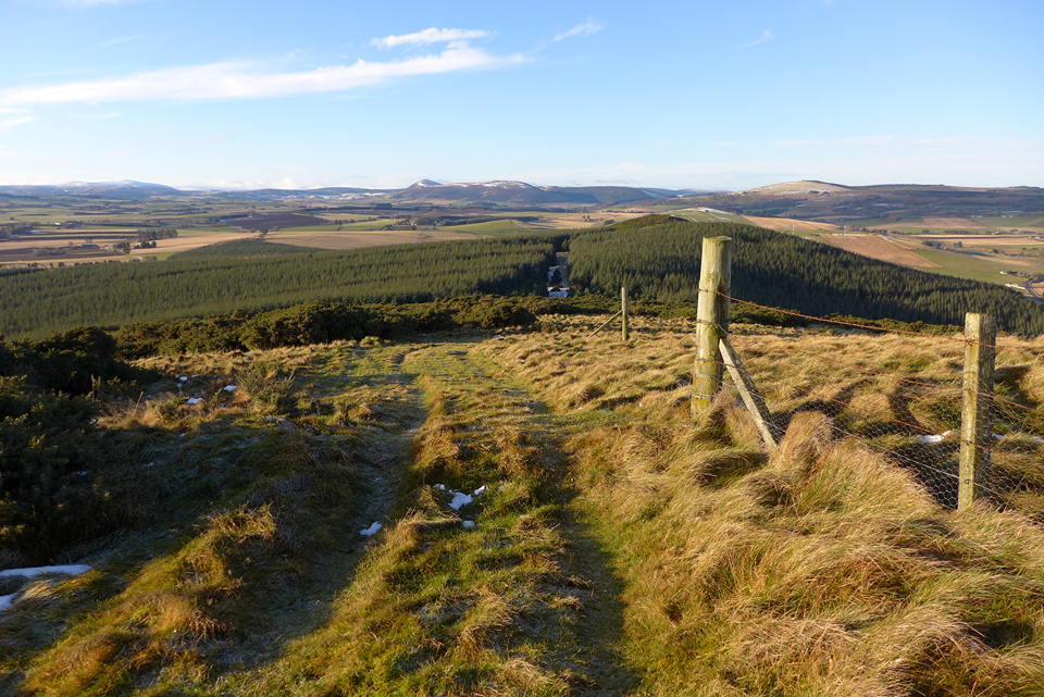
19/05/2018 – View west and our way back. Signs of a recentish dig at the fort on the ramparts.

12/05/2018 – Scheduled cairn which Canmore has listed as Knock Hill just south of the site mentioned in Drew’s notes. Decent size footprint.
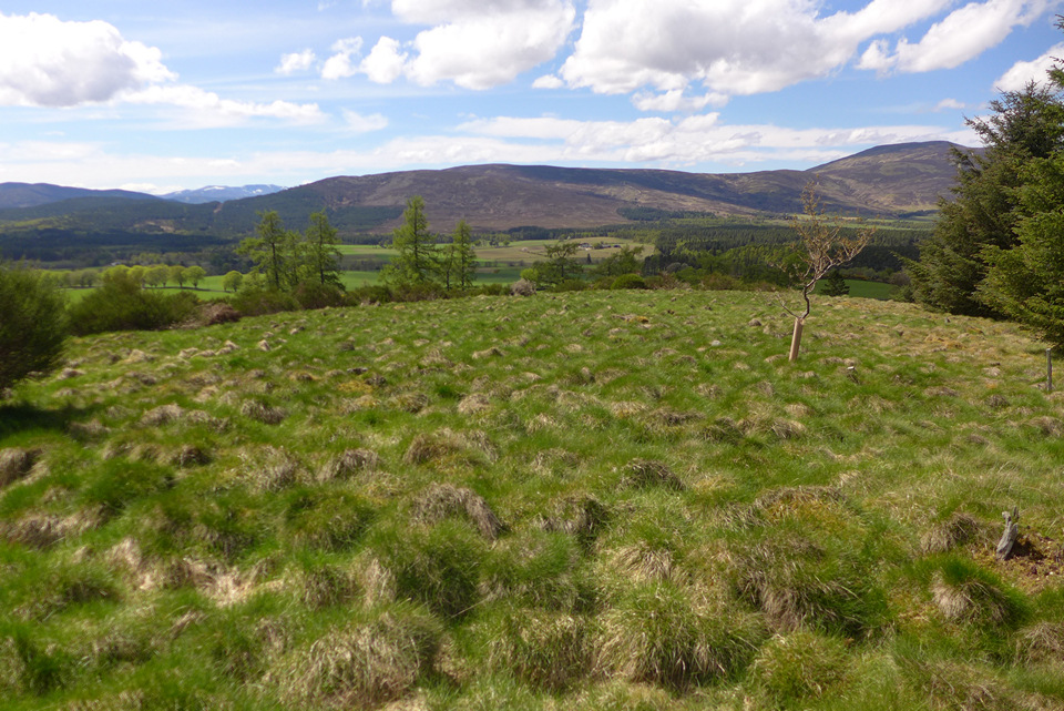
12/05/2018 – View west to the big hills and the Cairngorms National Park. This hill is just outside it.

View out from the hillfort to Scar hill and Mulloch, a great place if you like cairns and broom. Mortlich (hillfort) in the distance on the left.


21/04/2018 – Just a little east from the cairn mentioned in Drew’s fieldnotes I came across this one. Chance it’s just old field clearance but it looked pretty cairny to me and Canmore mention that there could be at least seven burial cairns round here. GR NO 64648 96833

16/04/2018 – Cairn just north of summit. Looks like a shelter has been built into it at some point.


07/04/2018 – I worry about this one. Crack on the recumbent looks bigger than last time I visited. Centre of the circle has been used for a fire recently. ‘Offerings’ left on each stone. It’s a nice place but I don’t think it’s hidden location in the trees is doing it any favours. It looked a little sad today even in the lovely sunshine.

10/03/2018 – Tap o’Noth from my settee.
Rainy day today so we had a play about with Lidar data sets. Just wish the whole of Scotland was covered but it was nice to find Tap o’Noth on there. remotesensingdata.gov.scot/collections We used QGIS, which is a nice free bit of software, to view the data.


01/01/2018 – Been a little while since I’ve been here. I’d forgotten just how big this recumbent is!

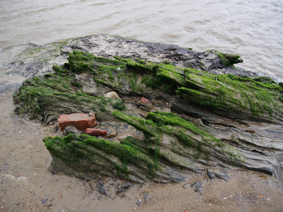
25/12/2017 – I like this place. The remains of a submerged forest, dating from neolithic times. Resting in the tree is red brick which is blitz rubble from Liverpool. Nice link about this area below.
citizan.org.uk/resources/key-zones/north/sefton-coast-merseyside/


24/10/2017 – Drew’s hut circle radar was working well that day :-) Whitebridge dun behind.


