From the pencil of James Drummond.

The late prof Mick Ashton next to Clach a’ Choire.
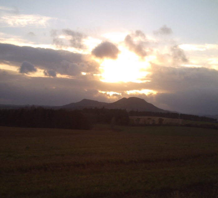
Darkening skies and storms brewing over the Eildon Hills taken from near the Hundy Mundy Eco-Burial site at Smailholm. 1/11/14

The prominent “Rocking” Stone which stands close beside (and guides you to) the chambered cairn. Modern novel and Mac B for scale.
The white dot on the coast just to the left of the stone is Hunterston B Nuclear Power Station.

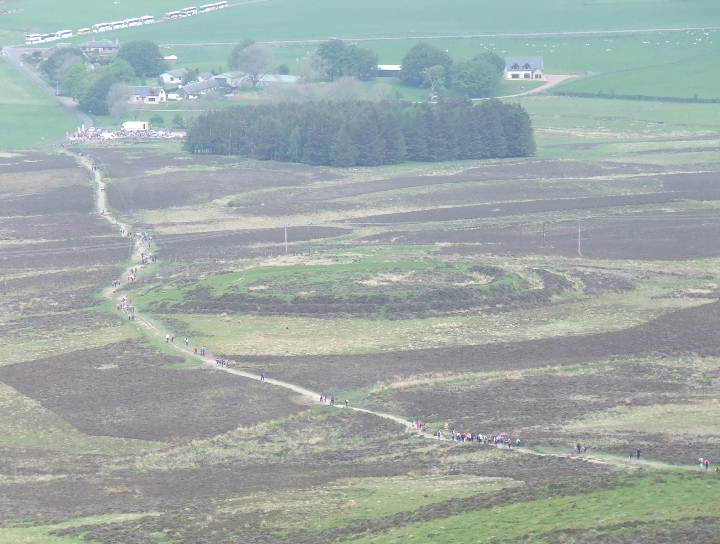
Much bracken this year. It doesn’t seem to be cleared back at all now.

To the South East the highest point on Holy Island Mullach Mor also gets a little peek at Meallach’s Grave.

Looking onto what remains of the facade. The chambered cairns of Dunan Mor and Dunan Beag are in the Clauchland Hills in the forestry immediately above/ left of the green field in the centre distance.

Looking North, just to the left of the tallest portal stone is Goatfell – another peak which looks onto Meallach’s Grave.

Now free of the forestry plantation, Meallach’s Grave looks to the surrounding hills once more. On the skyline (to the left) the shark fin tip of Cir Mhor just manages to peek over A’ Chruach onto Meallach’s Grave.

Meallach’s Grave looking right up the chamber to the portal stones.

From the North Goatfell Ridge across North Arran peaks, Kilbrannan Sound, Kintyre, Argyll and the distant Paps of Jura.

The 2,000 year old Netherton Tricephalos discovered in 1968 in Netherton, Wishaw.

This rock feature is no one trick pony. The Grey Man looks just as convincing from the other side.

The Grey Man of The Merrick stares out from the highest hill in Galloway and fixes his gaze on Loch Enoch, Mulwharchar and the Round Loch of The Dungeon.


Fforde’s Buttress (AKA Fforde’s Buttcrack or The Crack Of Doom) lies a slightly dangerous scamble above the steep drop to the corrie below Meall Breac on the path up Goatfell.

Taken from “Jerusalem, The Emanation of the Giant Albion”. Blake’s illustration features a lunar eclipse seen through one of the trilithons.

Couldn’t resist knitting those images together. What a barrow!


A Stronach Triptych – just add sun and water for best results.


The “stone setting” to the right of the field clearance cairn. The highest (nearest) stone of this possible “stone setting” is 90 centimetres high. The two rocks behind are 30cms and 40cms. In 1895 Coles felt confident that this was the remains of a stone circle.


Stamp Issuer, Blacksmoker, Timelord, Justified Ancient and King of Low Frequency... Jimi Cauty’s lovely Athena Poster of Stonehenge.

Stamp issuer, Blacksmoker, Timelord, Justified Ancient and King of Low Frequency... Jimi Cauty’s lovely Athena Poster of Avebury.

The “Honeycomb” at the Giant’s Causeway.


The saddle enclosure on Bizzyberry Hill. Neolithic pottery found in the ditch. The enclosure lies on the saddle between Ewe Hill Fort and the summit fort on Bizzyberry Hill.

Centred on the cairn above Ewe Hill Fort and the saddle enclosure. Snow blind, low winter sun, fish-eye.

Some of the massive stones from the broch in their re-cycled form.

The view from Calla Broch out to Tinto (with the tiny miniature Tinto-esque Quothquan Law a little dark shadow on the bottom left).


The ealiest known aerial photograph of a british archaeological site ever taken. Back in 1906 when this was snapped from an army war balloon some of the stones were propped up by big wooden splints.

The high, drystane dykes above High Auchenlarie “cairn” are founded on massive slabs from the crags above.

Another field clearance cairn near High Auchenlarie “cairn”.

Another field clearance cairn near High Auchenlarie “cairn”.