
L
L-M K

The cairn 250 metres north (the one you will pass on the way to the site) of the ring cairn.

The stone ring south of the ring cairn.

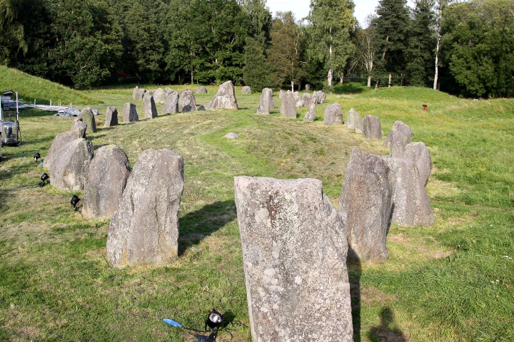
A complete view of the north stone ring.

The east part of the ring cairn.

The west part of the ring cairn.

The small cairn north of the ring cairn.

Part of the north stone ring, with the ring cairn behind.


At the southeast end of the big row.

Another small row, northeast of the big one.

Closeup towards southeast.

The stone row from south.

It was a perfect evening to visit the site.

Last man standing...

Another cairn, southeast of the stone row.

2 cairns in the northern end of the grave field.

View from south.

View from west.

View from the top towards the highway and the city of Köping.

View from the top.


Another view of the west side of the ship.

From the south end.

Closeup of the west side.
The measuring stick is marked in decimetres.

The west side of the ship.

A tired stone...
The measuring stick is marked in decimetres.

From the north end.
The measuring stick is marked in decimetres.
The 2 big ones, seen from ground level.

The smaller one directly north of the 2 big ones.

The 2 big ones, seen from atop Anundshög


One of the smaller ones.

The west edge of the ship.

Another view of the quadratic mound.
The measuring stick is marked in decimetres.

The quadratic mound.
The measuring stick is marked in decimetres.


The tree in the center of the ship.
Quite a good sail....
The measuring stick is marked in decimetres.

At the east end of the stone ship.
The measuring stick is marked in decimetres.

On the wall.

A view of the outer and inner wall.

The inner wall.

The path up to the fort.

The measuring stick is marked in decimetres.

The measuring stick is marked in decimetres.


The measuring stick is marked in decimetres.

The measuring stick is marked in decimetres.