Looking across the southern cairn (c59ft/c65ft in diameter, according to CADW/Coflein) to the larger central cairn (c72ft/c75ft).
Image credit: Robert Gladstone
Looking across the southern cairn (c59ft/c65ft in diameter, according to CADW/Coflein) to the larger central cairn (c72ft/c75ft).

As seen ascending Pen Cerrig Tewion – the lake is the source of the Afon Rheidol

Aerial view from the southern of Esgair Fraith’s monuments.

Highlighting some of the encircling stones once forming part of a kerb/stone circle/bits of Roman-something-or-other (delete as appropriate)

Struggling to visualise what part of a Roman signal station that boulder represents... surely far too irregular to be part of a turret?

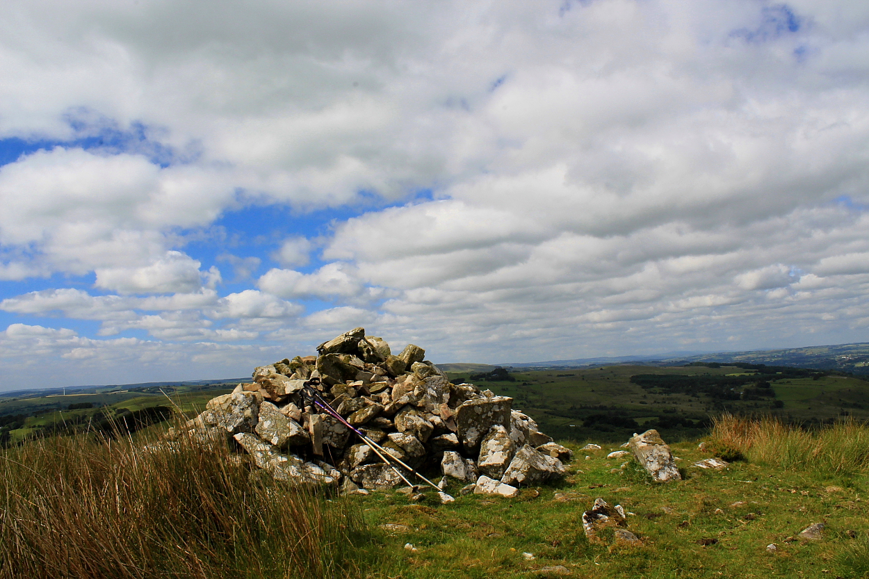
Looking across the site to Esgair Fraith... from whence I’d just arrived.

‘Idiosyncratic’, I think is the adjective.


Looking approx Southwest... a fair view. The site of Tan-y-Ffordd hillfort can be seen within the trees, – far centre right.


Somewhat overgrown.... sure, it added to the vibe, but not beneficial to determining ground plans, etc


Precipitous ground falling away to Cwm Rheidol protects the southern flank


Looking back to the summit cairn across a pair of small cairns to the south..

Pair of small cairns beside the track to the south.. the cist-bearing cairn lies just beyond within the long grass


The summit cairn (SN66224936) can be seen rising above and beyond...

Bryn Mawr can be seen beyond


The cairn sits right upon the edge of the Craig Twrch’s summit outcrops


The substantial prehistoric footprint is evident here, I think.


Hint of a cist within the northern cairn...


Southern cairn, with northern visible background, left.