
The great northern barrow marooned – for its own protection from common users – within a sealed fenceline. Oh for the provision of a simple kissing gate....
Image credit: Robert Gladstone

The great northern barrow marooned – for its own protection from common users – within a sealed fenceline. Oh for the provision of a simple kissing gate....


Looking towards the north-western bowl barrow from that to the south-east


The South-eastern barrow doesn’t possess as upstanding a profile as its neighbour, but still pretty large.

The north-western is a pretty substantial barrow, to be fair.........

The better-preserved north-western monument upon Long Hill.......

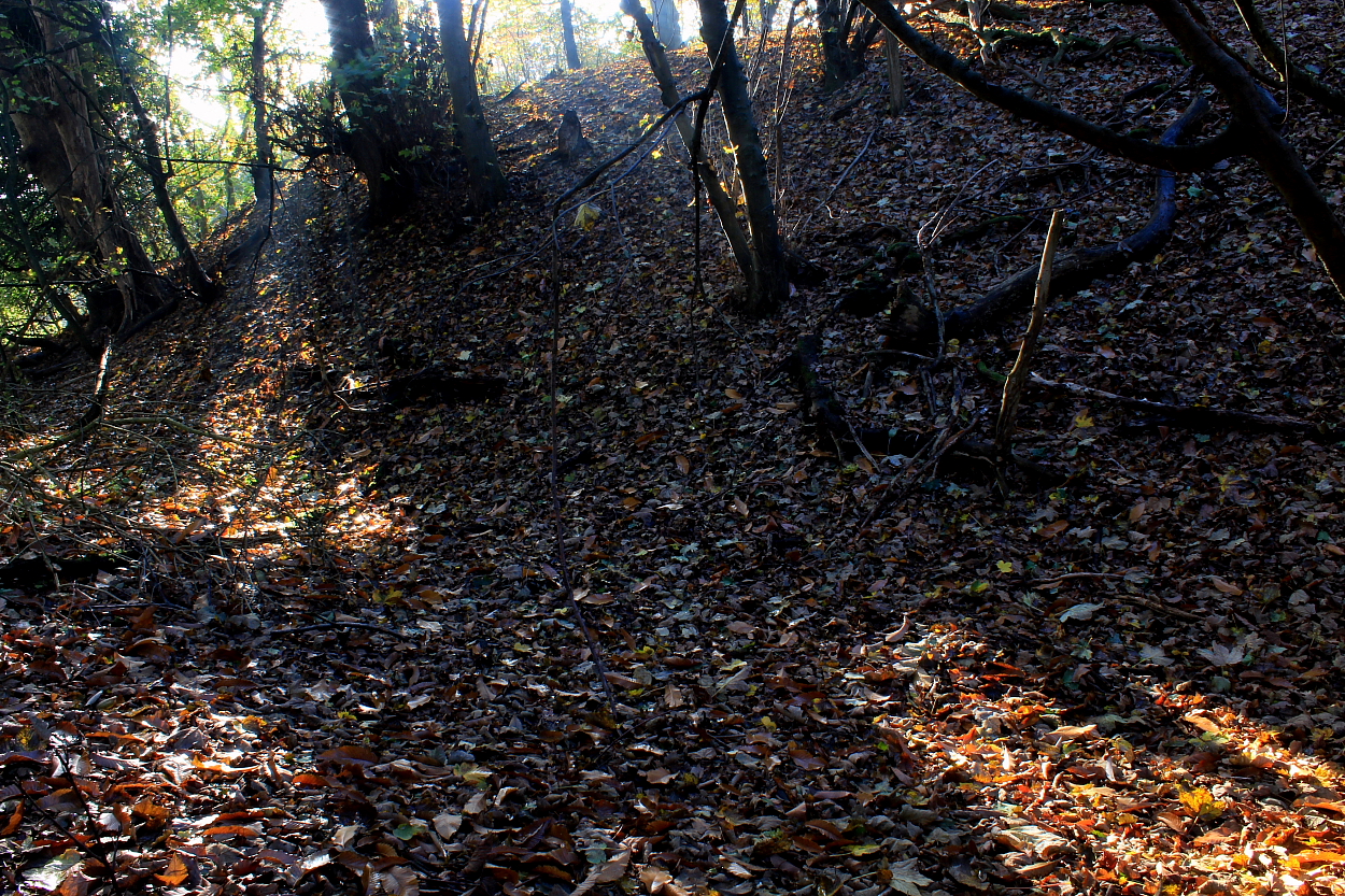
I didn’t suss ‘til the way back that the site lies within private woods... so recommend having a word at Three Barrows Place.

Such is the overgrown nature of this great triple barrow that I found it more-or-less impossible to photograph. Obviously...

Taken from an ‘Office of Public Works’ pamphlet available to visitors some 20 years ago now. Clearly, no copyright infringement is intended. My own annotated notes may well be utter bollocks since the pamphlet text states ‘The Sloping Trenches’ and Rath Grainne are “..recognised by archaeologists as barrows”. So, Iron Age?




The very substantial cross bank. Sadly, this fine promontory fort is located within ‘private woodland’, the significance clearly wasted limited intellect. The usual story. However, a public footpath is located immediately to the east.


The massive cross bank .....


Godstone looms through the morning mist. The not immediately recognisable remnants of the southern barrow stands immediately before the house, left background

The northern barrow from the south... pretty substantial.

The northern barrow was adapted as the base of a windmill, the last incarnation of which was demolished c.1890. Sadly the northern rim has been lost to Greensand extraction.

The great northern barrow, approaching from approx south-west
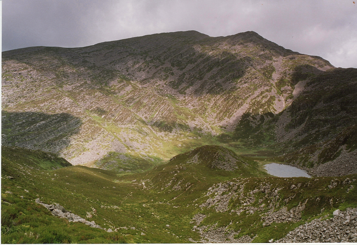
The rugged southern face of Rhinog Fawr viewed from Rhinog Fach across Bwlch Drws-Ardudwy. The cairns crown the highpoint...

Taken from “SOME RECENT ROCK ART FROM NORTH-WEST WALES; Report for publication in Archaeology in Wales 2013” by George Smith

Archive scan of Llyn Du viewed from Rhinog Fawr... the cup and ring mark is (apparently, since I walked right past unaware) a little beyond the left hand shore.


Towards the neighbouring ‘fort upon Mynydd y Dref...


Northern defences, towards Penmaen-bach and The Great Orme.

Penmaen Mawr can be seen beyond the northern defences

Not been here since the 90’s...... worth coming back.


Looking north to Moel Ysgyfarnogod and, well, the whole of Northern Snowdonia. The upland tarn is Llyn Morwynion (Lake of the Maidens), not to be confused with that upon The Migneint. Cwm Bychan is seen centre far left.

Cairn to east of the summit cairn....

Summit cairn – note the footprint.........


Looking south toward Rhinog Fach and Y Llethr, the latter the summit peak of Y Rhinogydd. Cadair Idris floats upon the horizon.

Summit cairn looking west(ish). The Gloyw Lyn can be seen below.

The cairn to the east of the summit...

Towards the summit cairn from that to the east... this stone pile, while much less certain, still retains quite a noticeable footprint. The Lleyn Peninsular can be seen beyond Cardigan Bay.


Try to discount the field clearance – if you can – and focus upon the fine footprint of this ring cairn
