
Looking south from the main part of the fort.
Image credit: A. Brookes (9.6.2018)

Looking south from the main part of the fort.


An eroded section of the rampart reveals a stone rather than earthen construction.

Northern ramparts, with the Cotswolds hills above Winchcombe on the skyline. Belas Knap is over there somewhere.


First sight of Conderton Camp on the approach from the southwest.
CPAT description with excavation details:
An excavated round barrow cist which is circular in form with quite steeply sloping sides and a depressed interior. The mound’s perimeter is well defined although no kerbstones or ditch was visible. The sides of the mound are under turf, whilst the levelled interior exposes stone. A large sandstone slab, aligned E-W, dominates the central S area of the cairn’s interior. This is presumably the remains of the cist excavated by Jones (1981); the upper most edge of this slab is all that is now exposed.
Dimensions: diameter 15.2m; height 1.2m-1.4m
(1981) A cairn 15.5m diameter, c.1.5m high with a large cist at the centre was examined. Small particles of bone and a few potshereds were found in soil in the cist, and further sherds, the rim of a large vessel with incised decoration and a barbed and tanged arrowhead were found on the cairn floor. There was no evidence of a kerb.(1981) EXCAVATION: The removal of the part-fill of loose boulders together with C20th rubbish revealed an irregular layer of dark brown soil slopping down towards the E end. Progressive trowelling revealed no stratification, the soil being of a disturbed nature and containing burned bracken and some broken glass similar to that associated with the boulder deposits. However, there was a firmer area of soil in the angle between the easternmost orthostat and the boulder clay on which the cist had been constructed. In this undisturbed material the first and largest pottery sherd, a piece of the rim of a large, decorated, vessel was discovered. Scattered in a random manner and near the first find were other small fragments of pottery together with several fragments of bone. A tanged and barbed arrow head and other small flint flakes and artifacts also appeared in a scatter across this area.
The Cist had been constructed from sandstone slabs. The S orthostat measured 1.86m in length, 1.2m deep and was 0.075m in thickness, being set into the ground so that its upper edge was almost exactly horizontal. The N slab was 1.56m, 0.87m deep and 0.075m thick. Both these main orthostats were orientated generally E-W. Slots had been cut into the original boulder clay surface and the orthostats were held upright with small stones and earth packing. The smaller E and W slabs were not so deep set and were given additional support by small stones placed within the cist. The N orthostat had cracked under lateral pressure while that at the W end was incomplete and badly damaged. A matching portion of this slab was found lying within the cist.
All the indications were of a robbed burial, impression futher strengthened by finds made outside the cist itself and at its E end. At this point an area of the cairn boulders were cleared so that any pattern of construction could be investigated. Although the cairn proved to have been made of randomly placed boulders at this point, on the original ground surface and in close proximity to one another, were five small sherds of pottery. The loose nature of the cairn boulders would have allowed such small fragments of pottery to have percolated downwards had they been placed on the edge of the cist by the original robbers.
From Pastscape:
A late Iron Age sub-rectangular enclosure, previously thought to be a Roman Marching Camp was seen centred at SO 7140 4788 and mapped from aerial photographs. The site was excavated in autumn/winter 2000 and found to be a late Iron Age enclosure. The aerial photographs show the enclosure being defined by a single ditch, with straight sides and curved corners and measuring approximately 64m x 83m. In one corner are the faint traces of a curved enclosure or division with possible pits.

Landscape context for the prominent hill viewed from Farnley Bank to the east.

Victoria Tower on the highest part of the hill.

The northeastern curve of ramparts.

The northern end of the fort.

Northwestern ramparts, looking north.

Looking WNW across the suburbs of Huddersfield.

Victoria Tower and the northwestern ramparts, looking southwest.

The view southwest towards the moors.

Looking down on the outer rampart from the inner on the southeast side of the fort.

Standing on the outer southeastern rampart with the inner rampart rising on the right.

Leckhampton Hill seen from fields to the south, east of Emma’s Grove round barrows.

The massive southwestern barrow. I got very stung getting to this one.

The smaller northeastern barrow, buried in undergrowth.

Later Neolithic fenced shrine and “processional way”, from the information board.

Depiction of the Neolithic long mound from the info board.

Looking along the eastern Iron Age rampart. The hill on the left is Churchdown (Chosen) Hill, a probable hillfort itself.

The Neolithic settlement area, looking towards the inside of the Iron Age eastern rampart.

The circular feature at the end of the Neolithic long mound.

The northern scarp slope provides natural defence.

Prominent Churchdown Hill seen from Greenway Farm on the slopes below Crickley Hill hillfort.

Approaching sunset from Leckhampton Hill.


Looking over the northern ramparts towards Bredon Hill, near invisible on the skyline in the haze, with Cleeve Hill to the right.

Early discovery from this year’s Penycloddiau dig, courtesy of Dr Rachel Pope:
“A bit of new info. from Penycloddiau is that as early as the Early Iron Age, they’re using clay as a bonding material in construction, and also lime for weatherproofing. Something we didn’t know, we’d assumed all that was Roman invention.”


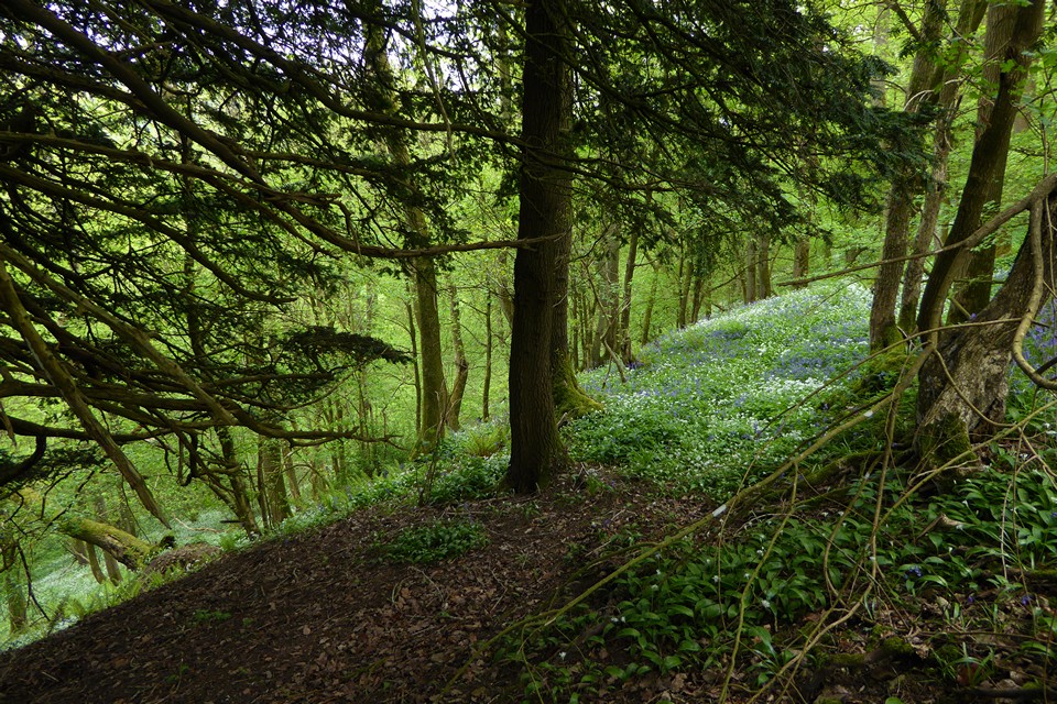
Northeastern rampart above a steep slope.


The northern entrance, flanked by impressive earthworks.

The beautiful wooded interior of the hillfort.

The ditch or berm between the inner and outer ramparts.
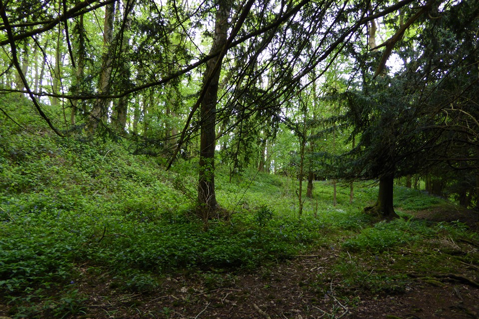
Inner rampart (left), berm and outer rampart (right) on the southwestern side of the fort.


Western ramparts. The built defences are at their strongest on this side, but had been incorporated into gardens now.

Fort interior. Credenhill Camp is visible in the distance to the left of centre.

Looking along the River Wye from the northern rampart. The prominent hill to the north is the superb Credenhill Camp hillfort.