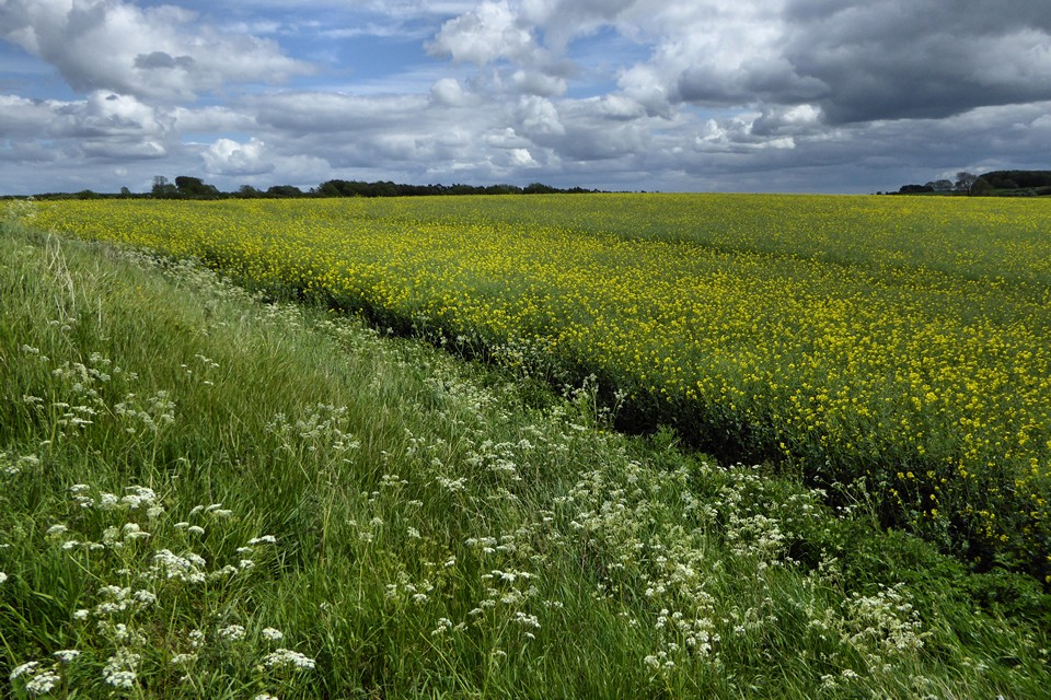
The northwestern corner.
Image credit: A. Brookes (17.6.2019)

The northwestern corner.

On the northern bank.

The northern bank.

The “mound” to the west of the long barrow.

The “mound” to the west of the long barrow and WNW of the round barrow. It looks like a fair contender for a round barrow but there is doubt about this.

The round barrow to the south of the long barrow.

The western end of the long barrow.

Reverse of the previous image, looking towards the eastern mound along the back of the long barrow.

Looking west along the back of the long barrow towards the remaining mound at the western end. Theoretically this central part of the monument should be as high as that.

Looking from the eastern end of the barrow towards the western end. The flatter area between the two mounds is where the original line of the barrow ran.

Detail of the mound at the eastern end of the barrow. There’s quite a bit of broken stone in the mix. The supposition is that it was made from earth and stone piled up from the centre section of the barrow, leaving mounds at each end.

The massive mound at the eastern end of the long barrow.


After a bit of judicious nettle trampling.

Summer nettles surround the Hoar Stone.

From the northwest.

From the footpath to the southeast.

The fenced-off Welsh Way section.

Cutham Lane section.

Standing on top of the bank, Cutham Lane.

Impressive bank towards the southern end of the Cutham Lane section.
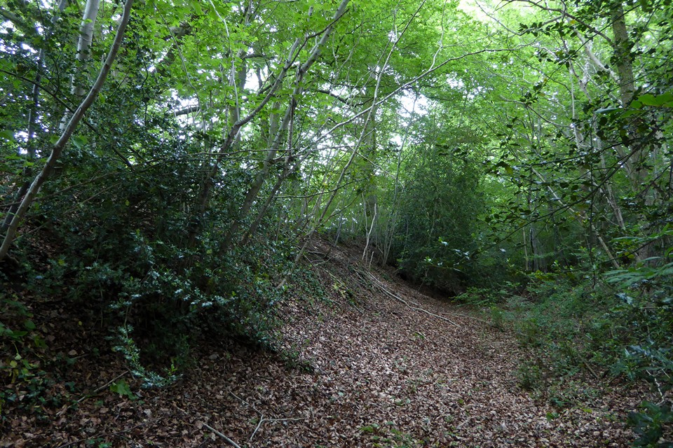
Looking north along the Cutham Lane section.

Ivy-covered section on Cutham Lane.


Looking down on the Churn valley from the west end of the mound.


From the road to the northwest, showing the positioning on the upper slope of the hill but not the top.


Cairn IV, the southernmost in the group. This was previously hidden in thick vegetation.


Cairn III, looking towards the Hafren/Severn.


Cairn II at the north of the group. Last time I came here this cairn had some young trees growing out of it, pleasing to see they’ve been removed from the monument.

Rampart at the southwestern end of the fort, looking across the Hafren/Severn towards England. The prominent hill with the masts over on the right is Mynydd Machen, which is topped with a Bronze Age cairn.