


The eastern arc. The summits of Roughtor (far left) and Brown Willy (centre left) peak over the intervening moorland. Hawk’s Tor rises on the right.


From the southeast, with Carbilly Tor behind.

Shattered fragment and stumps on the eastern side of the monument.

The tallest of the re-erected stones, a massive slab of granite with a natural crease.

Two of the re-erected stones, presumably both with corners broken off long ago.


The stone postman christened Mick, now with added companions.

Hawk’s Tor behind and a brooding Roughtor and Brown Willy on the skyline to the right.


Hut circle a couple of hundred yards south of the cist, near the entrance to the waterworks.

Looking south, with the rocky top of Hawk’s Tor visible on the left skyline.


The retaining kerb is well-defined on the west of the cairn.

Leaze cist in its retaining circle. King Arthur’s Hall is silhouetted on the skyline, slightly right of centre.

This is a superb circle, a really nice place to come.

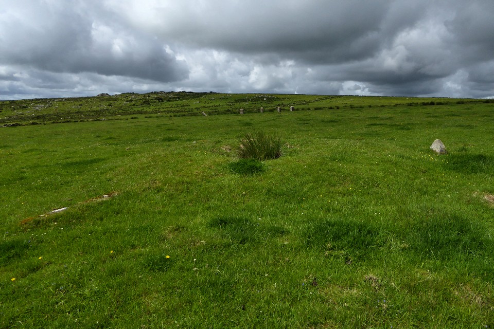
The cairn to the northeast of the circle, with the circle beyond.
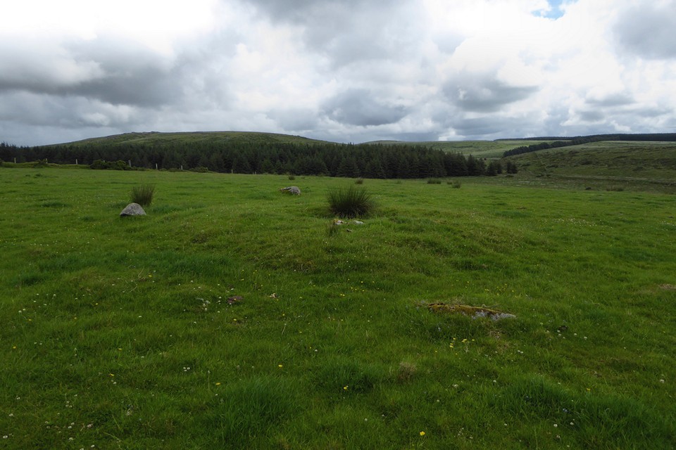
Little cairn to the northeast of the circle, with what appears to be the remains of a kerb or possibly a freestanding surrounding circle.


The southwestern arc of the eastern circle. The summit of Roughtor peeks over the skyline, left, while Garrow Tor hides Brown Willy to the right.

The eastern circle from the northeast. The lighter thing in the foreground is a cow pat not a stone, although it’s pretty much on the lost arc.

Looking across the eastern circle from the one remaining stone on the northeastern arc.

The fallen southwestern arc of the eastern circle, with the western circle beyond.


Triangular stone in the western circle.

Stones still standing in the northern arc of the western circle.


The enclosure from the northern bank.


Stones at the northeastern corner.


The enclosure from the southern bank.

Looking northeast towards Roughtor and Brown Willy.


The cairn at SX 11607782, looking northeast towards Roughtor and Brown Willy.

The cairn at SX 11607782, looking southwest. The distant hills on the left skyline are the downs above St Austell, including Hensbarrow.

The cairn at SX 11607782 with upright kerb stones.
Pastscape descriptions of two cairns on Treswallock Downs:
SX 11607782The mutilated cairn comprises a ragged, turf-covered mound which incorporates an incomplete kerb of upright slabs (the tallest is 1.1m high). The overall dimensions of the mound are about 7.2m by 6.9m although much of its centre and north-west side have been robbed; the kerb is approximately 4.4m in diameter.
The cairn material may have originally been contained within the standing slabs.
SX 11627783
A disturbed turf-covered cairn approximately 7.7m in diameter and 0.4m high. It has traces of a kerb fringe of the mound. Its top has been mutilated and a large earthfast boulder lies to one side of an 0.3m deep central pit.