


Looking southwest across the western cairn.

The superbly sited western cairn, looking along the Usk valley towards the Brecon Beacons.

The eastern cairn, looking east towards the summit of The Sugarloaf.

The low heather-covered eastern cairn, looking northwest towards Pen Cerrig-calch.

The hillfort sits on top of a steep-sided hill, with the ground falling away most steeply to the south. Seen from Bryn Arw to the south. Pen-y-Gadair Fawr rises behind on the left, Hatterrall Hill on the right.
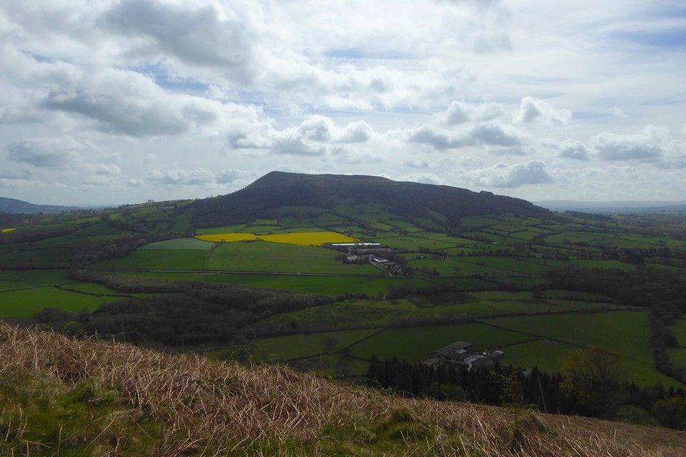
Ysgyryd Fawr from Bryn Arw to the northwest.

Garth Hill dominates the skyline, seen from Bae Caerdydd. Even at this distance the two largest barrows are visible on the crest of the hill.

Titterstone Clee dominating the surrounding countryside. Seen from Mary Knoll, just west of Ludlow.

Brown Clee centre skyline, seen across the Teme valley from Bringewood, just over the Herefordshire border. At the extreme left of the photo is Norton Camp above Craven Arms, which I visited a couple of months earlier.

Croft Ambrey is at the shadowed right hand end of the ridge, right of centre. Seen from Hanway Common, a few miles to the northeast.

An unfamiliar angle on familiar hills: Titterstone Clee is on the far left skyline, Brown Clee to the right. The viewpoint is Walsgrove Hill in the Abberley Hills of Worcestershire, some dozen miles or so to the southeast.
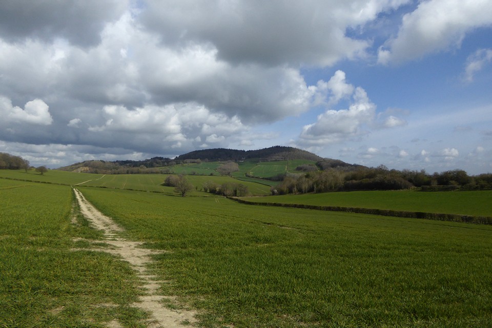
The twin-humped Woodbury under April skies, seen from Rodge Hill to the south.

Southern rampart, the ground sloping steeply away.

Southern rampart, east of the southern entrance.

The southern rampart, west of the southern entrance.

Western end of the southern rampart.

Steadily collapsing stone pyramid on the high point of the western rampart.

Below the bank on the southwestern section.


Northern rampart, west of the northern entrance.

I wonder how much is underground, to stop it toppling over?

Looking SE down the Nant Bargod Rhymni valley.

Looking northwest towards the summit (Carn y Bugail). The enclosure bank is quite clear.

The stone in its oval enclosure, looking north.

Looking north up to the summit. The Carn y Bugail cairns are not visible from here, over the crest.
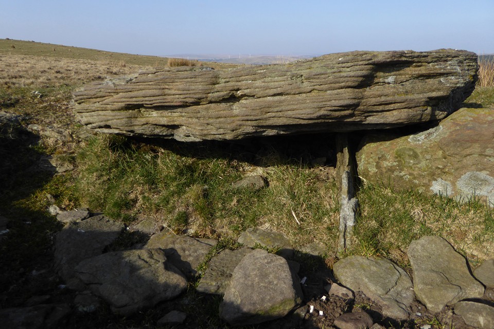
Showing the thickness of the capstone. As well as the side stone, there is a thinner upright slab still in place, at right angles.

Side slab in situ, suggesting the capstone was slid backwards to expose the inside of the cist.

Excavated centre of the cairn SE of the summit.

Fine cairn with capped cist, southeast of and downhill from the Carn y Bugail sites. Looking SE.


Kerbing around the southern edge of the summit cairn.

The top of the capstone in the summit cairn.

The cist in the centre of the summit cairn.


The NW cairn looking north. The green hill below to the right of centre is Mynydd Fochriw.

The NW cairn, looking west towards Mynydd Cilfach-yr-Encil (left) and Merthyr Common (right).

The superb cist in the NW cairn, with the summit cairn beyond.

The NW cairn, with probable kerb and central cist. Looking SSW.


The excellent little Pentwyn cairn with central slab. Looking SSE with Carn y Bugail rising on the right.

Stones incorporated into the western arc of the possible ring cairn. The post is some kind of surveying aid, a very similar one is next to the northern cairn on the next ridge west, Mynydd Cilfach-yr-Encil.


