

thesweetcheat


Y Garn juts prominently, centre. Snowclad Yr Wyddfa to the left. From the northwest ridge of Mynydd Tal-y-Mignedd.
Image credit: A. Brookes (30.4.2016)

The brooding mountain and its jagged northeastern ridge, seen from Mynydd Tal-y-Mignedd.
Image credit: A. Brookes (30.4.2016)

Approx. landscape context from the ridge between Mynydd Tal-y-Mignedd and Trum y Ddysgl to the south.
Image credit: A. Brookes (30.4.2016)

Craig Cwm-Silyn rises to the left of centre, beyond the broken ridge linking Trum y Ddysgl with Mynydd Tal-y-Mignedd (with obelisk, right of centre). Yr Eifl can be seen on the centre skyline.
Image credit: A. Brookes (30.4.2016)

Moel Hebog from Trum y Ddysgl to the north. Moel y Gest hillfort near Porthmadoc can be seen to the right.
Image credit: A. Brookes (30.4.2016)

The cairns are at the sunlit end of the ridge below. Elidir Fawr, Y Garn (Glyderau) and the majestic Yr Wyddfa form the snow-covered backdrop. The viewpoint is the summit of Trum y Ddysgl.
Image credit: A. Brookes (30.4.2016)

Mynydd Mawr in shadow on the left. A further cairn crowns Moel Eilio, centre. From the col between Mynydd Drws y Coed and Trum y Ddysgl on the Nantlle Ridge.
Image credit: A. Brookes (30.4.2016)

From Trum y Ddysgl on the Nantlle Ridge, about 5 miles away.
Image credit: A. Brookes (30.4.2016)

According to GAT, the hut circle is somewhere at the end of the long ridge descending from the summit of Trum y Ddysgl. The viewpoint is the neighbouring peak of Mynydd Drws-y-Coed.
Image credit: A. Brookes (30.4.2016)

Moel Eilio, in shadow, is the conical peak central to the image. Mynydd Mawr, with more cairns is on the left, Y Garn with a pair of cairns is in the middle ground below the viewpoint of Mynydd Drws-y-Coed. Stately and snow-clad Elidir Fawr is the mountain on the far right.
Image credit: A. Brookes (30.4.2016)

The becairned summit of Craig Cwm-silyn is just visible in the centre, peaking over the slightly lower summits of the eastern Nantlle Ridge. Yr Eifl can be seen far right skyline. The viewpoint is Y Garn, Nantlle Ridge.
Image credit: A. Brookes (30.4.2016)

The eastern cairn. The summit itself, marked by a small modern cairn, is over to the right.
Image credit: A. Brookes (30.4.2016)

The eastern cairn from the western cairn, with Yr Wyddfa behind. Sunlight lights the snow on Elidir Fawr, far left.
Image credit: A. Brookes (30.4.2016)

Looking northwest across the western cairn, with the becairned summit of Mynydd Mawr behind.
Image credit: A. Brookes (30.4.2016)

The western cairn, with the Nantlle Ridge behind and Yr Eifl on the far right skyline.
Image credit: A. Brookes (30.4.2016)

Three high-level Bronze Age cairns, far above a prehistoric settlement site at Drws y Coed. The viewpoint is Y Garn, with two imposing cairns of its own.
Image credit: A. Brookes (30.4.2016)

Sunshine and showers over Beddgelert Forest. Moel Hebog to the right of centre, with Moel yr Ogof immediately the right of that, and Moel Lefn completes the trio of summits.
Image credit: A. Brookes (30.4.2016)

Moel Eilio, left skyline, seen rising above Llyn y Dywarchen from the slopes of Y Garn to the south.
Image credit: A. Brookes (30.4.2016)

A visit to these excellent cairns is a serious undertaking. Postie leads the way near the start of an hour of continuous climb from car to cairns.
Image credit: A. Brookes (30.4.2016)


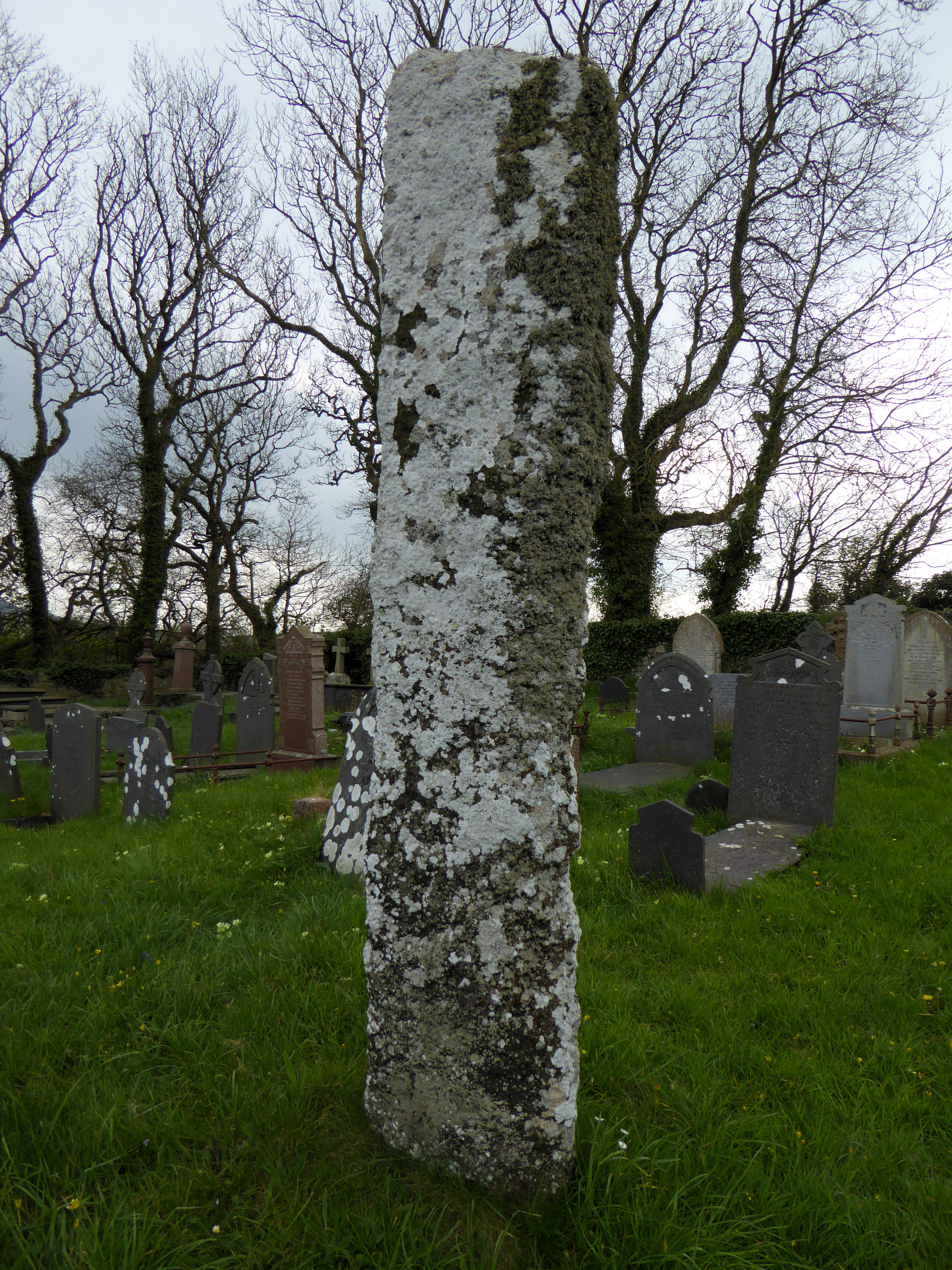
Gravestones give a sense of scale – it’s a whopper.
Image credit: A. Brookes (22.4.2016)


Yr Eifl on far right skyline.
Image credit: A. Brookes (22.4.2016)


The tomb and the enormous slab next to it.
Image credit: A. Brookes (22.4.2016)

Brooding above the gorse, from the southeast.
Image credit: A. Brookes (22.4.2016)


The northern defences, looking towards Garn Boduan, Yr Eifl and the hazed-out mountains of Snowdonia.
Image credit: A. Brookes (22.4.2016)

Looking south towards Porth Neigwl/Hell’s Mouth with Abersoch and Cilan to the left, and Mynydd Rhiw to the right.
Image credit: A. Brookes (22.4.2016)

The “citadel”, the rocky summit outcrop on the west of the fort.
Image credit: A. Brookes (22.4.2016)

Bronze Age cairn on the rocky outcrops south of the summit, looking towards Yr Eifl.
Image credit: A. Brookes (22.4.2016)

Rampart above the steep southwestern slopes of the hill.
Image credit: A. Brookes (22.4.2016)

Amazingly well-preserved buildings inside the fort.
Image credit: A. Brookes (22.4.2016)
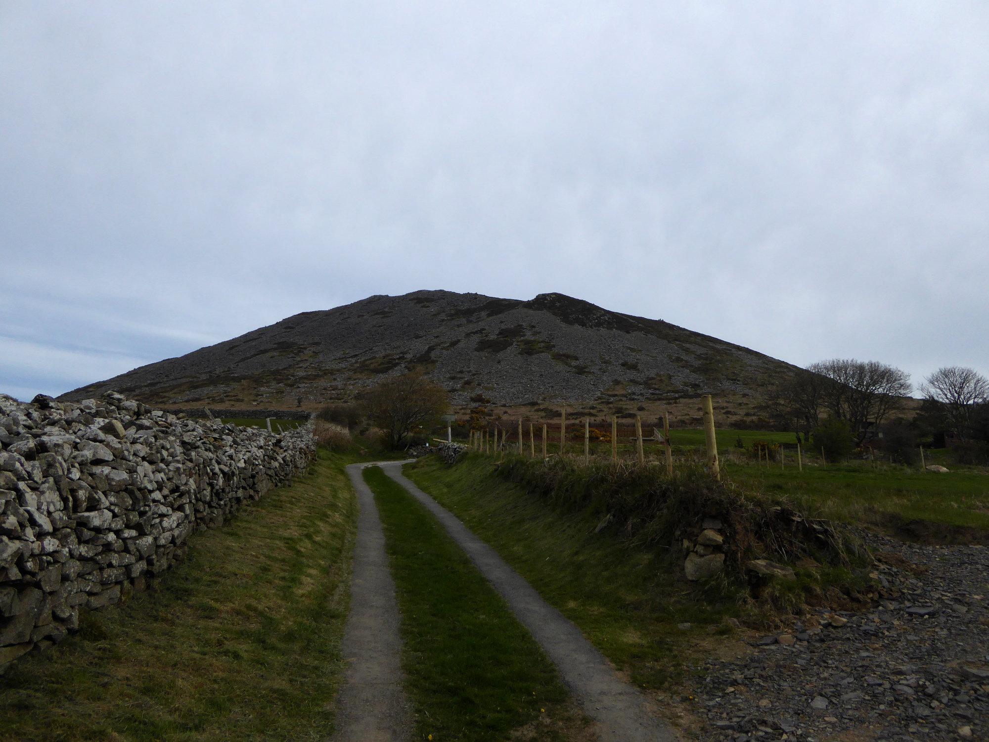


Looking towards the promontory across Porth Dinllaen.
Image credit: A. Brookes (21.4.2016)

To the east the promontory shelters the wide harbour of Porth Dinllaen. Yr Eifl is the wonderful backdrop.
Image credit: A. Brookes (21.4.2016)

Looking landwards across what would have been the fort interior but is now a golf course, towards the unmistakable Carn Fadrun. Garn Boduan is just disappearing off shot on the far left.
Image credit: A. Brookes (21.4.2016)

The long promontory (“trwyn”) protected by the ramparts.
Image credit: A. Brookes (21.4.2016)
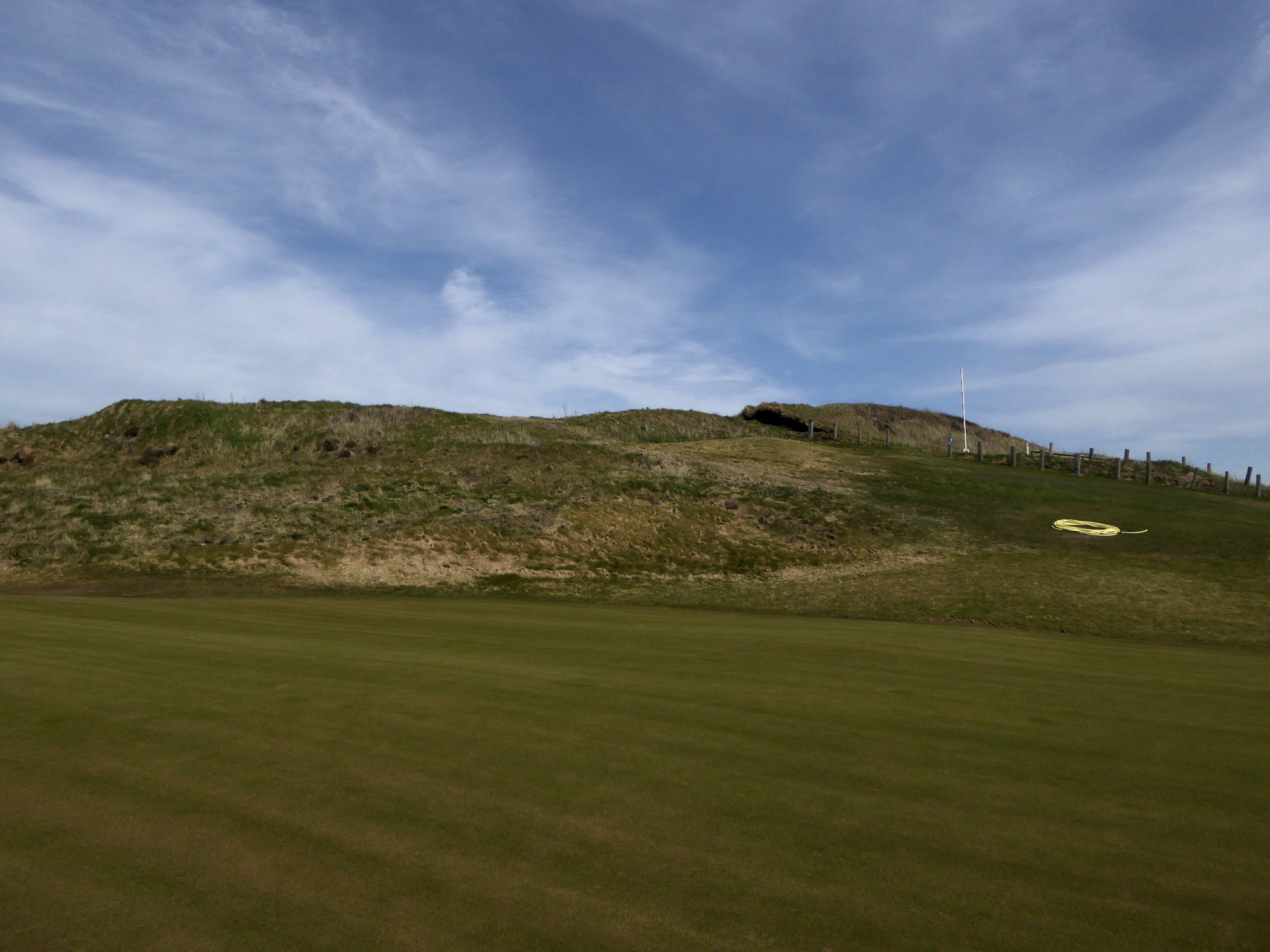

The fort commands extensive views southwest along the coastline.
Image credit: A. Brookes (21.4.2016)

Outer rampart in the foreground, inner rampart beyond (behind the parked cars).
Image credit: A. Brookes (21.4.2016)