

thesweetcheat


Lose Hill rises prominently, seen from the southwest.
Image credit: A. Brookes (19.10.2018)

This was as close as we could get, the whole area west of the road was fenced off due to “recent rockfall” (October 2018).
Image credit: A. Brookes (19.10.2018)

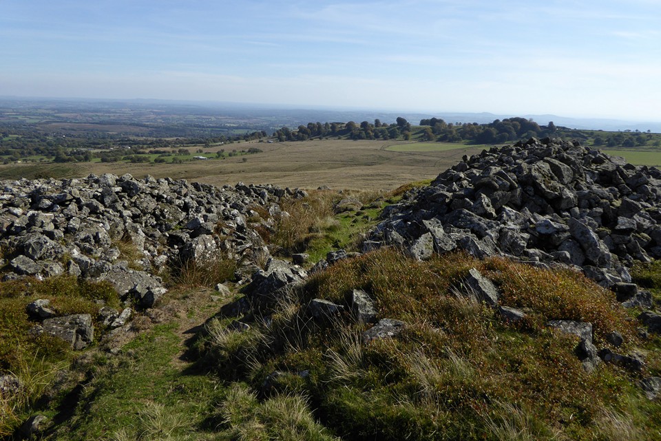
Interned banks flank the southeastern entrance.
Image credit: A. Brookes (29.9.2018)

Looking northwest towards the Long Mynd. The prominent hill on the right skyline is Caer Caradoc above Church Stretton.
Image credit: A. Brookes (29.9.2018)


Looking up towards the Giant’s Chair.
Image credit: A. Brookes (29.9.2018)

The stone rampart at the northwest of the fort.
Image credit: A. Brookes (29.9.2018)

The western end of the hill, looking towards Brown Clee. There are no obvious artificial defences here, the naturally steep and rocky slopes presumably deemed enough.
Image credit: A. Brookes (29.9.2018)
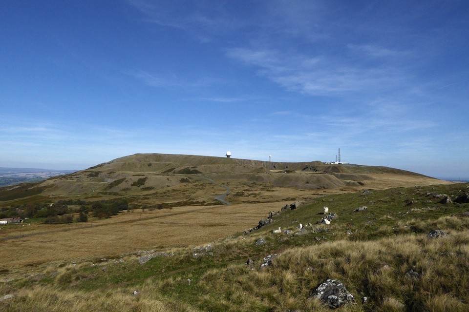
Titterstone Clee from the cairns on Hoar Edge. The two surviving cairns can be seen at the western (left) end of the summit.
Image credit: A. Brookes (29.9.2018)


The northwest cairn. Brown Clee, Shropshire’s highest hill is far left. The Giant’s Chair outcrop is right of centre.
Image credit: A. Brookes (29.9.2018)


Low rubble bank on the arc of the northwest cairn.
Image credit: A. Brookes (29.9.2018)


Detail of the outer edge of the southeast cairn.
Image credit: A. Brookes (29.9.2018)


Immediately south of the cairns the side of the hill has been quarried away. The southeast cairn is visible top right.
Image credit: A. Brookes (29.9.2018)


The northern cairn from the north. Stones from either end of a horned forecourt can be seen left and right.
Image credit: A. Brookes (14.9.2018)

Looking along the northern chamber.
Image credit: A. Brookes (14.9.2018)

Portal and facade stones of the northern cairn.
Image credit: A. Brookes (14.9.2018)

The dismounted capstone of the northern chamber.
Image credit: A. Brookes (14.9.2018)

The northern chamber of the northern cairn, looking towards a cloud-covered Goatfell and a sun-dappled Holy Island.
Image credit: A. Brookes (14.9.2018)

The remains of the southern chamber in the northern cairn.
Image credit: A. Brookes (14.9.2018)

The circular mound of the southern cairn.
Image credit: A. Brookes (14.9.2018)


The chamber of the southern cairn. The larger northern cairn is top right.
Image credit: A. Brookes (14.9.2018)

Elevated first view of Giants’ Graves as we arrived from Glenashdale Falls.
Image credit: A. Brookes (14.9.2018)
